
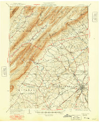
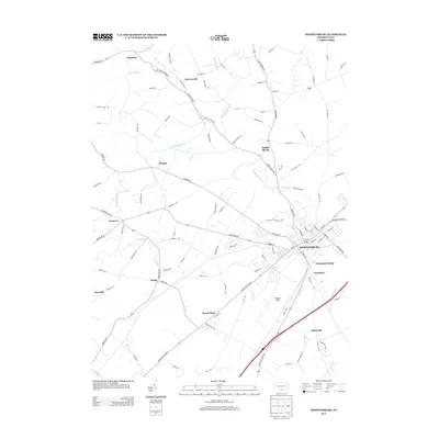
1943 Map of Shippensburg
USGS Topo · Published 1965About this map
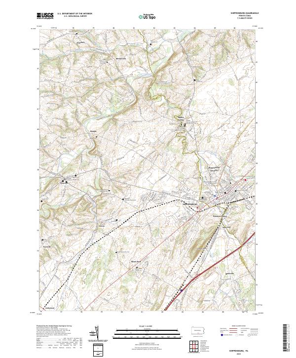
Shippensburg serves as the focal point of this 1943 survey, revealing the established footprint of the State Normal Sch and the intersection of the Reading and Western Maryland railroads. The landscape is defined by the sharp contrast between the productive agricultural valleys of Southampton and Letterkenny and the daunting heights of Blue Mountain. A modern engineering marvel of the era is prominently visible: the Pennsylvania Turnpike, featuring the Blue Mountain Tunnel and the Kittatinny Tunnel cutting through the ridges.
Find a feature on this map
95 named features on this map. Tap any name to fly to it.
Don’t see what you’re looking for? This feature index may not catch every label — zoom into the map to look around manually.
Map Details
Editions of this 1943 Shippensburg Map
This is the sole edition of this map. No revisions or reprints were ever made.
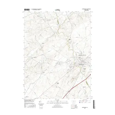
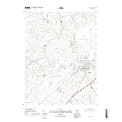
Historical Maps of Shippensburg Through Time
9 maps found
1923 Shippensburg
Cumberland County, PA
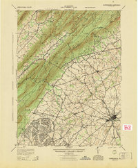
1943 Shippensburg
Cumberland County, PA
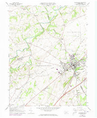
1945 Shippensburg
Cumberland County, PA
1966 Shippensburg
Cumberland County, PA
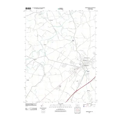
2010 Shippensburg
Cumberland County, PA
2013 Shippensburg
Cumberland County, PA
2016 Shippensburg
Cumberland County, PA
2019 Shippensburg
Cumberland County, PA
2023 Shippensburg
Cumberland County, PA