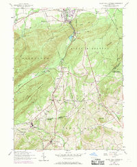
1952 Map of Mount Holly Springs
USGS Topo · Published 1969About this map
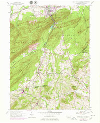
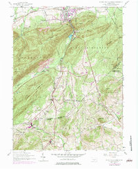
Yellow Breeches Creek and Mountain Creek carve through the deep ridges of the South Mountain area, defining a landscape of narrow valleys and heavy forest. The borough of Mount Holly Springs serves as a northern anchor, where the Reading railroad and local industry at Upper Mill once flourished. Settlement patterns follow the winding runs and mountain gaps, connecting small communities like Goodyear, Uriah, and Idaville. Genealogy researchers will find numerous small burial grounds and rural institutions scattered across the Cumberland and Adams county lines, including the Goodyear Cemetery and several schools like Tagg Run School and Millers School. The Appalachian Trail traverses the eastern ridges near Rocky Ridge, while a dismantled railroad branch near Hunters Run points to the area's changing transportation network during the mid-20th century.
Find a feature on this map
64 named features on this map. Tap any name to fly to it.
Don’t see what you’re looking for? This feature index may not catch every label — zoom into the map to look around manually.
Map Details
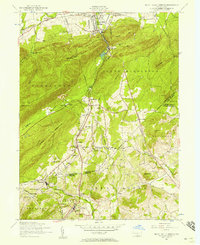
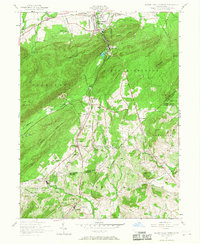
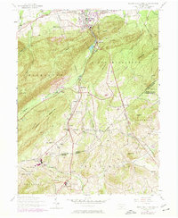
Editions of this 1952 Mount Holly Springs Map
6 editions found
Other maps of this area

1904 · Carlisle
USGS Topo · 1:62,500

1908 · Gettysburg
USGS Topo · 1:62,500

1909 · Fairfield
USGS Topo · 1:62,500

1919 · Newville
USGS Topo · 1:62,500

1942 · Gettysburg
USGS Topo · 1:125,000

1943 · Carlisle
USGS Topo · 1:62,500

1944 · Arendtsville
USGS Topo · 1:31,680
1944 · Biglerville
USGS Topo · 1:31,680

1944 · Hampton
USGS Topo · 1:31,680

1945 · Newville
USGS Topo · 1:62,500
Featured Places
- Latimore Township, PA
- Mount Holly Springs, PA
- Huntington Township, PA
- Starners, Dickinson Township
- Dickinson Township, PA