Loading...
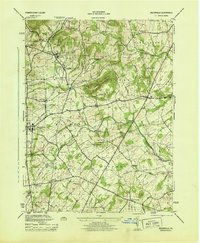
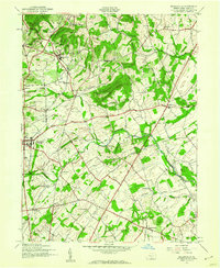
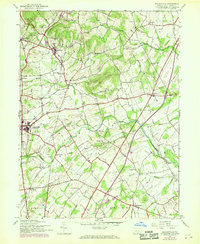
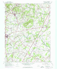
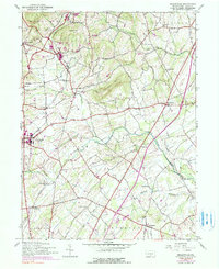
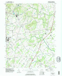
Loading map...1944 Map of Biglerville
USGS Topo · Published 1944About this map
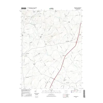
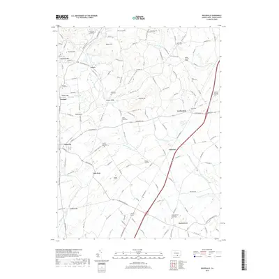
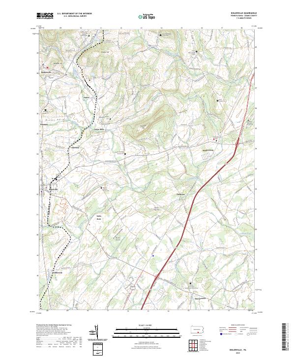
The Reading railroad defines the industrial and agricultural rhythm of Adams County during the mid-1940s, connecting orchard-heavy settlements like Biglerville and Bendersville. Commercial fruit production is anchored by the H G Baugher Fruit Packing Co near Aspers, highlighting the region’s specialized economy. The landscape is a transition between the northern heights of Wolfpit Hill and Rampike Hill and the fertile valleys carved by Bermudian Creek and Conewago Creek.
Find a feature on this map
51 named features on this map. Tap any name to fly to it.
Don’t see what you’re looking for? This feature index may not catch every label — zoom into the map to look around manually.
Map Details
Date Portrayed1944
Date Published1944
PublisherU.S. Geological Survey
Map TypeTopographic
Scale1:31,680
Physical Dimensions18 x 21.9 inches
Editions of this 1944 Biglerville Map
5 editions found
Historical Maps of Biglerville Through Time
7 maps found
Featured Locations
- Biglerville, PA
- Huntington Township, PA
- Bendersville, PA
- Aspers, Menallen Township
- Center Mills, Butler Township
Source Details
SourceU.S. Geological Survey
CopyrightPublic Domain