
1944 Map of Mc Sherrystown
USGS Topo · Published 1944About this map
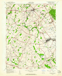
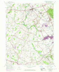
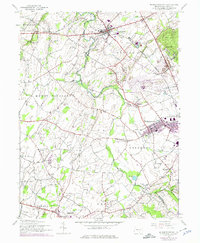
The agrarian and industrial landscape of Adams County, Pennsylvania, is meticulously documented in this 1944 War Department survey. The region is anchored by the borough of Mc Sherrystown and the village of New Oxford, surrounded by a dense network of township divisions including Oxford, Conewago, and Mount Pleasant. The local economy of the mid-1940s is evident in the presence of the Alwine Brick Company, Hanover Quarry, and the Adams Stone Products Co Quarry. Education and faith are well-represented by numerous rural schoolhouses such as Whitehall School and Valley Grove School, along with landmarks like the Conewago Chapel and St Joseph Academy.
Find a feature on this map
66 named features on this map. Tap any name to fly to it.
Don’t see what you’re looking for? This feature index may not catch every label — zoom into the map to look around manually.
Map Details
Editions of this 1944 Mc Sherrystown Map
4 editions found
Other maps of this area

1905 · Westminster
USGS Topo · 1:62,500

1908 · Gettysburg
USGS Topo · 1:62,500

1911 · Taneytown
USGS Topo · 1:62,500

1920 · Hanover
USGS Topo · 1:62,500

1922 · Hanover
USGS Topo · 1:62,500

1942 · Gettysburg
USGS Topo · 1:125,000

1944 · Manchester
USGS Topo · 1:31,680

1944 · Gettysburg
USGS Topo · 1:31,680

1944 · Littlestown
USGS Topo · 1:31,680
1944 · Taneytown
USGS Topo · 1:31,680