
1922 Map of Hanover
USGS Topo · Published 1922About this map
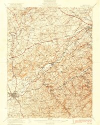
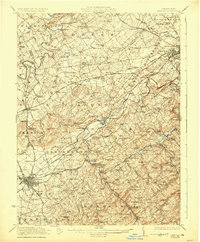
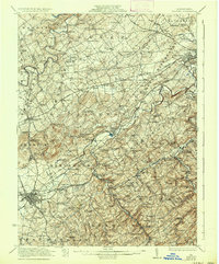
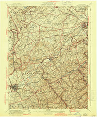
Hanover serves as a major railroad hub in southwestern York County, where the Western Maryland Railroad and the Pennsylvania Railroad intersect. This industrial and agricultural landscape is defined by its numerous small-scale settlements and decentralized community centers. The map documents an extensive network of rural institutions, such as Wildasin Chapel, the Lischy Church, and dozens of district schools including the Dars School and Krentler School.
Find a feature on this map
197 named features on this map. Tap any name to fly to it.
Don’t see what you’re looking for? This feature index may not catch every label — zoom into the map to look around manually.
Map Details
Editions of this 1922 Hanover Map
5 editions found
Other maps of this area

1900 · Parkton
USGS Topo · 1:62,500

1902 · Parkton
USGS Topo · 1:62,500

1904 · Carlisle
USGS Topo · 1:62,500

1905 · Westminster
USGS Topo · 1:62,500

1906 · New Cumberland
USGS Topo · 1:62,500

1908 · Middletown
USGS Topo · 1:62,500

1908 · Gettysburg
USGS Topo · 1:62,500

1908 · York
USGS Topo · 1:62,500

1910 · York
USGS Topo · 1:62,500

1911 · Taneytown
USGS Topo · 1:62,500