
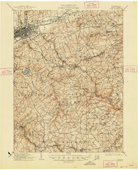
1910 Map of York
USGS Topo · Published 1910About this map
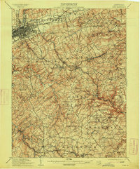
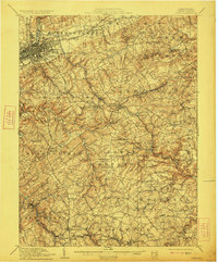
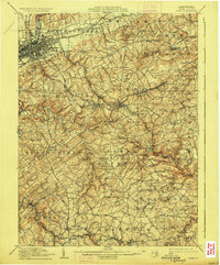
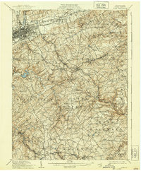
Codorus Creek and its various branches define the undulating landscape of south-central Pennsylvania in this early twentieth-century survey. The city of York serves as the regional anchor, where the Northern Central RR and Pennsylvania RR converge, driving the industrial character of the era. The mapping details an intricate network of turnpikes and plank roads, such as the Stewartstown Turnpike and the historic Plank Road, connecting established boroughs like Red Lion and Dallastown with smaller hamlets and rural post offices including Paradise Jacobus PO.
Find a feature on this map
126 named features on this map. Tap any name to fly to it.
Don’t see what you’re looking for? This feature index may not catch every label — zoom into the map to look around manually.
Map Details
Editions of this 1910 York Map
6 editions found
Other maps of this area

1900 · Parkton
USGS Topo · 1:62,500

1901 · Belair
USGS Topo · 1:62,500

1902 · Parkton
USGS Topo · 1:62,500

1902 · Lancaster
USGS Topo · 1:62,500

1904 · Lancaster
USGS Topo · 1:62,500

1905 · Westminster
USGS Topo · 1:62,500

1906 · New Cumberland
USGS Topo · 1:62,500

1908 · Middletown
USGS Topo · 1:62,500

1908 · York
USGS Topo · 1:62,500

1912 · Mc Calls Ferry
USGS Topo · 1:62,500