Loading...
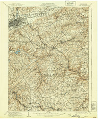
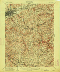
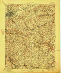
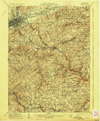
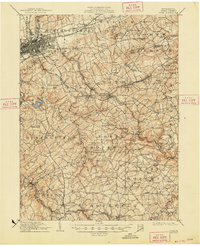
Loading map...1910 Map of York
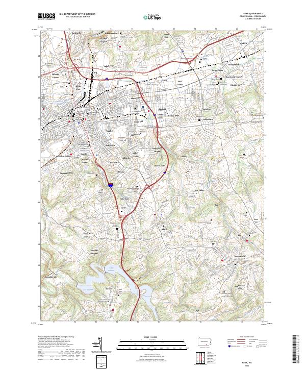
USGS Topo · Published 1939About this map
The city of York sits at the nexus of a bustling rail and road network in this early twentieth-century survey of York County. The industrial and agricultural landscape is defined by the corridors of the Northern Central RR and the Maryland and Pennsylvania RR, which connect the urban center to outlying boroughs like Red Lion and Dallastown. Along the Codorus Creek, early infrastructure is visible through the York Water Co Pumping Station and several mill sites including Reynolds Mill and Paper Mill.
Find a feature on this map
121 named features on this map. Tap any name to fly to it.
Don’t see what you’re looking for? This feature index may not catch every label — zoom into the map to look around manually.
Map Details
Date Portrayed1910
Date Published1939
PublisherU.S. Geological Survey
Map TypeTopographic
Scale1:62,500
Physical Dimensions16.5 x 20 inches
Editions of this 1910 York Map
6 editions found

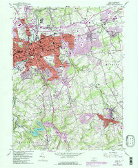
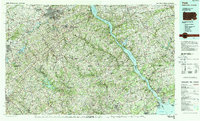
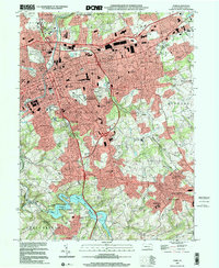
Historical Maps of York Through Time
6 maps found

Featured Locations
Source Details
SourceU.S. Geological Survey
CopyrightPublic Domain