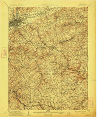
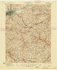
1910 Map of York
USGS Topo · Published 1923About this map
York serves as the industrial and transit anchor in the northwestern corner of this territory, where the Northern Central RR and Pennsylvania RR converge amidst a dense grid of city streets. Beyond the city, the landscape of York County is defined by a dense network of small agrarian and industrial settlements. The map illustrates an era of rural industry with sites like Margaretta Furnace and numerous water-powered operations including Laucks Mill and Reynolds Mill along the winding creeks.
Find a feature on this map
133 named features on this map. Tap any name to fly to it.
Don’t see what you’re looking for? This feature index may not catch every label — zoom into the map to look around manually.
Map Details
Editions of this 1910 York Map
6 editions found
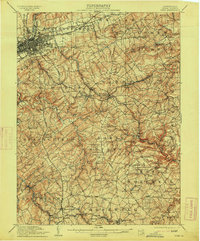
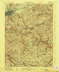
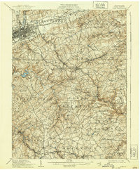
Other maps of this area

1900 · Parkton
USGS Topo · 1:62,500

1901 · Belair
USGS Topo · 1:62,500

1902 · Parkton
USGS Topo · 1:62,500

1902 · Lancaster
USGS Topo · 1:62,500

1904 · Lancaster
USGS Topo · 1:62,500

1905 · Westminster
USGS Topo · 1:62,500

1906 · New Cumberland
USGS Topo · 1:62,500

1908 · Middletown
USGS Topo · 1:62,500

1908 · York
USGS Topo · 1:62,500

1910 · York
USGS Topo · 1:62,500