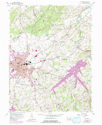
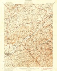
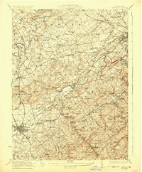
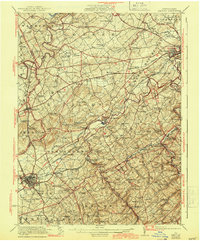
1922 Map of Hanover
USGS Topo · Published 1937About this map
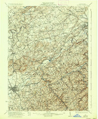
Hanover and the surrounding York County countryside are depicted here as a dense network of early 20th-century agriculture and industry. The landscape is defined by the winding course of Conewago Creek and its many tributaries, supporting a series of local processing hubs like Menges Mills and several grist mills. The region's mineral wealth is evident at the Iron Ridge Mine and Valley Mine, while the transportation of these goods relied on the Western Maryland RR and Pennsylvania RR, which intersect at strategic points like Hanover Junction.
Find a feature on this map
148 named features on this map. Tap any name to fly to it.
Don’t see what you’re looking for? This feature index may not catch every label — zoom into the map to look around manually.
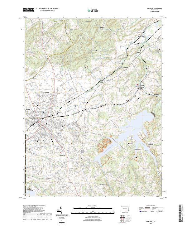
Map Details
Editions of this 1922 Hanover Map
5 editions found

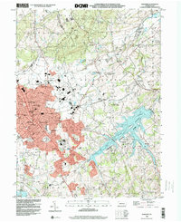
Historical Maps of York Through Time
5 maps found