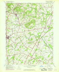
1944 Map of Biglerville
USGS Topo · Published 1969About this map
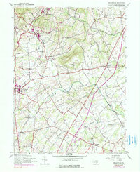
Biglerville stands as the primary hub of this Adams County landscape, situated at the crossroads of local commerce and transport during the mid-20th century. The Reading railroad line provides a vital spine for the region, connecting smaller hamlets and stops such as Bendersville Sta and Table Rock Sta. The rural character is defined by a dense network of country schools that once served these agrarian communities, including Hickory Point Sch, Locust Grove Sch, and Bridge Sch. Prominent high ground like Chestnut Hill and Wolfpit Hill rises above the valley floors carved by Conewago Creek and Bermudian Creek. Revisions from the late 1960s illustrate the expansion of local infrastructure, including a Sewage Disposal facility near the main town and the path of a major Pipeline cutting across the townships of Butler and Tyrone.
Find a feature on this map
41 named features on this map. Tap any name to fly to it.
Don’t see what you’re looking for? This feature index may not catch every label — zoom into the map to look around manually.
Map Details
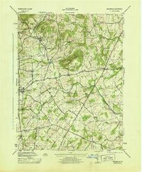
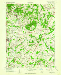
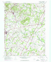
Editions of this 1944 Biglerville Map
5 editions found
Other maps of this area

1904 · Carlisle
USGS Topo · 1:62,500

1908 · Gettysburg
USGS Topo · 1:62,500

1909 · Fairfield
USGS Topo · 1:62,500

1919 · Newville
USGS Topo · 1:62,500

1942 · Gettysburg
USGS Topo · 1:125,000

1943 · Carlisle
USGS Topo · 1:62,500

1944 · Gettysburg
USGS Topo · 1:31,680

1944 · Mc Sherrystown
USGS Topo · 1:31,680

1944 · Arendtsville
USGS Topo · 1:31,680
1944 · Fairfield
USGS Topo · 1:31,680
Featured Places
- Biglerville, PA
- Bendersville, PA
- Huntington Township, PA
- Aspers, Menallen Township
- Center Mills, Butler Township