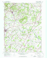
1944 Map of Biglerville
USGS Topo · Published 1974About this map
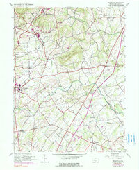
The fruit-growing region of northern Adams County comes into focus on this mid-century survey, centered on the community of Biglerville. The landscape is defined by the Reading railroad line, which connected the orchard economy to broader markets through stops at Bendersville Sta and Table Rock Sta. Settlement patterns follow the winding paths of Bermudian Creek and Conewago Creek, with numerous small rural schoolhouses like Rock Chapel Sch and Goodintent Sch serving the surrounding farmsteads.
Find a feature on this map
40 named features on this map. Tap any name to fly to it.
Don’t see what you’re looking for? This feature index may not catch every label — zoom into the map to look around manually.
Map Details
Editions of this 1944 Biglerville Map
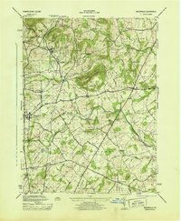
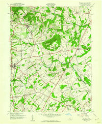
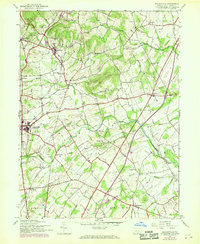
5 editions found
Other maps of this area

1904 · Carlisle
USGS Topo · 1:62,500

1908 · Gettysburg
USGS Topo · 1:62,500

1909 · Fairfield
USGS Topo · 1:62,500

1919 · Newville
USGS Topo · 1:62,500

1942 · Gettysburg
USGS Topo · 1:125,000

1943 · Carlisle
USGS Topo · 1:62,500

1944 · Gettysburg
USGS Topo · 1:31,680

1944 · Mc Sherrystown
USGS Topo · 1:31,680

1944 · Arendtsville
USGS Topo · 1:31,680
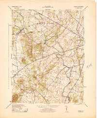
1944 · Fairfield
USGS Topo · 1:31,680
Featured Places
- Biglerville, PA
- Bendersville, PA
- Huntington Township, PA
- Aspers, Menallen Township
- Center Mills, Butler Township