
1944 Map of Hampton
USGS Topo · Published 1944About this map
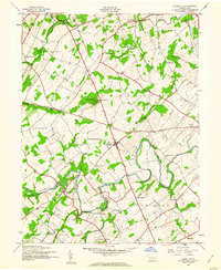
The rural landscape of Adams County comes into focus through an extensive network of small rural schools and winding creek valleys. Hampton and Newchester serve as the primary hubs in an area defined by small-scale agriculture and topographic landmarks like Round Hill. The density of educational sites is particularly striking, with names like Sevenhundred School, Two Churches School, and Independence School suggesting a once-decentralized system of local education that anchored these rural townships.
Find a feature on this map
41 named features on this map. Tap any name to fly to it.
Don’t see what you’re looking for? This feature index may not catch every label — zoom into the map to look around manually.
Map Details
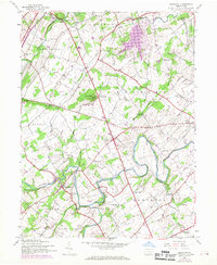
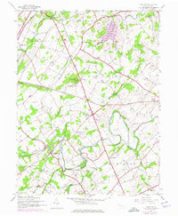
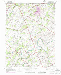
Editions of this 1944 Hampton Map
5 editions found
Other maps of this area

1904 · Carlisle
USGS Topo · 1:62,500

1906 · New Cumberland
USGS Topo · 1:62,500

1908 · Gettysburg
USGS Topo · 1:62,500

1920 · Hanover
USGS Topo · 1:62,500

1922 · Hanover
USGS Topo · 1:62,500

1942 · Gettysburg
USGS Topo · 1:125,000

1943 · New Cumberland
USGS Topo · 1:62,500

1943 · Carlisle
USGS Topo · 1:62,500

1944 · Gettysburg
USGS Topo · 1:31,680

1944 · Mc Sherrystown
USGS Topo · 1:31,680
Featured Places
- Latimore Township, PA
- Huntington Township, PA
- Mount Pleasant Township, PA
- Hamilton Township, PA
- Oxford Township, PA