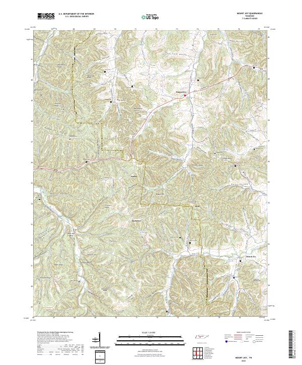
2022 Map of Mount Joy
USGS Topo · Published 2022About this map
Hampshire serves as a primary settlement node in this 2022 survey of the rural borderlands between Lewis and Maury counties. The landscape is defined by a dense network of hollows and ridges, such as Hampshire Ridge and Pisgah Ridge, which dictate the placement of early road corridors like Hampshire Pike and Old State Rd. Numerous family-named burial grounds, including Isom Cem, Peyton Cem, and Mayfield Cem, are scattered across the terrain, indicating long-standing generational ties to specific valleys and ridges. Small community centers such as Aethra, Bachelder, and Seth appear as clusters along these winding routes, often centered near water sources like Catheys Creek or Big Swan Cr. The map captures the persistent rural character of the region, where landmarks like Dickson Spring and Church House Hill remain significant topographic and cultural identifiers for local residents and family historians tracking ancestral land tracts.
Find a feature on this map
154 named features on this map. Tap any name to fly to it.
Don’t see what you’re looking for? This feature index may not catch every label — zoom into the map to look around manually.
Map Details
Editions of this 2022 Mount Joy Map
This is the sole edition of this map. No revisions or reprints were ever made.
Other maps of this area

1901 · Colombia
USGS Topo · 1:125,000

1936 · Sandy Hook
USGS Topo · 1:24,000

1936 · Williamsport
USGS Topo · 1:24,000

1936 · Mt Joy
USGS Topo · 1:24,000

1936 · Henryville
USGS Topo · 1:24,000

1936 · Sunrise
USGS Topo · 1:24,000

1936 · Crestview
USGS Topo · 1:24,000

1936 · Greenfield Bend
USGS Topo · 1:24,000

1936 · Mount Pleasant
USGS Topo · 1:24,000

1936 · Gordonsburg
USGS Topo · 1:24,000