
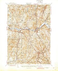
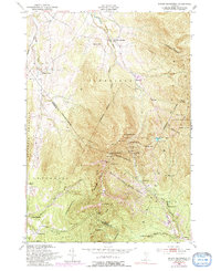
1944 Map of Mount Mansfield
USGS Topo · Published 1944About this map
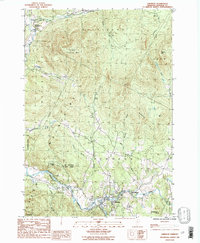
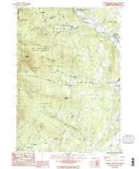
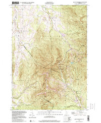
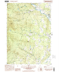
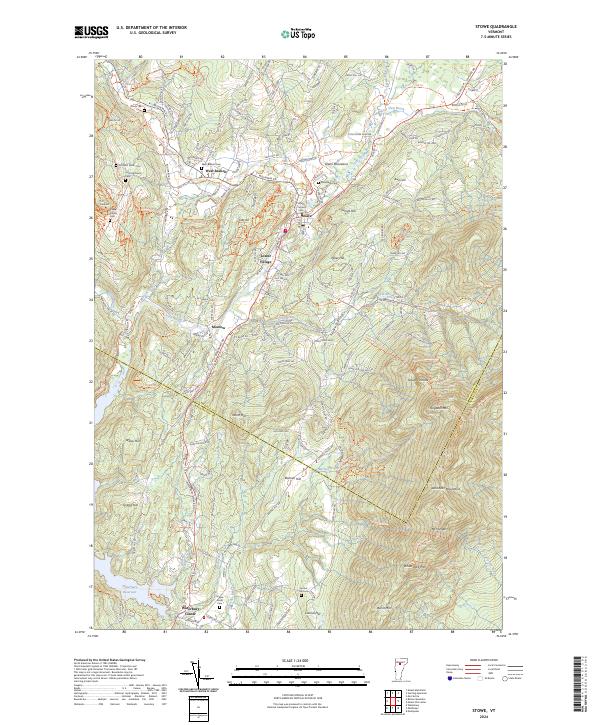
Mt Mansfield Hotel sits at the high peaks of the Green Mountains on this 1944 survey, serving as a prominent landmark for travelers and residents in the northern Vermont landscape. The map illustrates a settled agrarian and mountain economy defined by the Central Vermont railroad and the winding Lamoille River. The valley floors are dotted with small hamlets like Jeffersonville, Binghamville, and Riverside, while the higher elevations are marked by a dense network of one-room schoolhouses. Notable among these are the Irish Settlement Sch and English Settlement Sch, suggesting the distinct cultural enclaves that once populated these hillsides. Researchers will find numerous family-named hills, such as Coombs Hill and Hooper Hill, alongside industrial markers like Marses Mill and the rail hub at Cambridge Junction. This record captures the region shortly after the 1941 aerial photography update, documenting the transition between traditional mountain life and early twentieth-century infrastructure.
Find a feature on this map
117 named features on this map. Tap any name to fly to it.
Don’t see what you’re looking for? This feature index may not catch every label — zoom into the map to look around manually.
Map Details
Editions of this 1944 Mount Mansfield Map
This is the sole edition of this map. No revisions or reprints were ever made.
Historical Maps of Essex Through Time
20 maps found

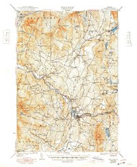
1925 Mount Mansfield
Lamoille County, VT

1927 Hyde Park
Lamoille County, VT
1927 Mount Mansfield
Lamoille County, VT
1930 Hyde Park
Lamoille County, VT
1943 Hyde Park
Lamoille County, VT
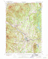
1944 Mount Mansfield
Lamoille County, VT
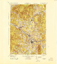
1948 Mount Mansfield
Lamoille County, VT
1948 Mount Mansfield
Lamoille County, VT
1953 Hyde Park
Lamoille County, VT
1968 Stowe
Lamoille County, VT
1986 Eden
Lamoille County, VT
1986 Johnson
Lamoille County, VT
1986 Sterling Mountain
Lamoille County, VT
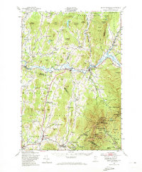
1997 Mount Mansfield
Lamoille County, VT
1998 Sterling Mountain
Lamoille County, VT
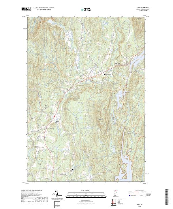
2024 Eden
Lamoille County, VT
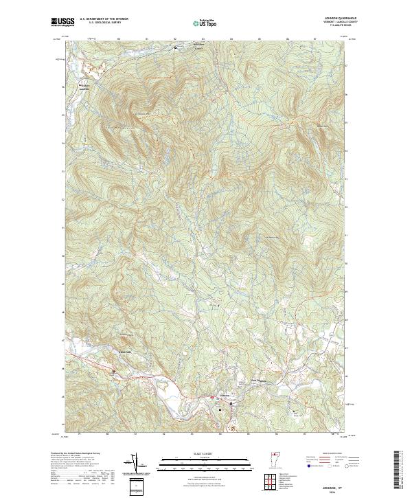
2024 Johnson
Lamoille County, VT
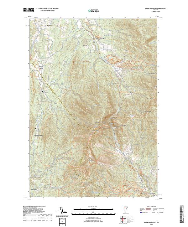
2024 Mount Mansfield
Lamoille County, VT
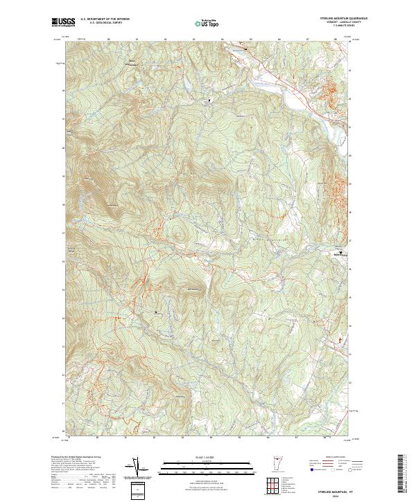
2024 Sterling Mountain
Lamoille County, VT
2024 Stowe
Lamoille County, VT