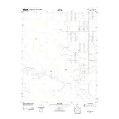
2011 Map of Mount Nutt
USGS Topo · Published 2011About this map
Mount Nutt dominates this corner of the Black Mountains, where high-desert terrain is marked by numerous springs and narrow washes. The landscape at the start of the 21st century reveals a contrast between the undeveloped wilderness of Hidden Valley and a structured grid of residential roads named for minerals and gems, such as Jade Rd and Peridot Rd, extending toward the east. Historic transit through the range is anchored by Sitgreaves Pass, a critical point for travelers navigating the elevation between Silver Creek and the eastern plains.
Find a feature on this map
56 named features on this map. Tap any name to fly to it.
Don’t see what you’re looking for? This feature index may not catch every label — zoom into the map to look around manually.
Map Details
Editions of this 2011 Mount Nutt Map
This is the sole edition of this map. No revisions or reprints were ever made.
Other maps of this area

1886 · Camp Mohave
USGS Topo · 1:250,000

1892 · Camp Mohave
USGS Topo · 1:250,000

1903 · Needles
USGS Topo · 1:125,000

1904 · Needles Special
USGS Topo · 1:125,000

1927 · Yucca
USGS Topo · 1:62,500

1929 · Yucca
USGS Topo · 1:62,500

1942 · Camp Mohave
USGS Topo · 1:250,000

1947 · Kingman
USGS Topo · 1:250,000

1948 · Kingman
USGS Topo · 1:250,000

1954 · Needles
USGS Topo · 1:250,000