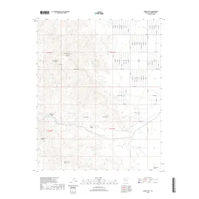
2018 Map of Mount Nutt
USGS Topo · Published 2018About this map
Mt Nutt towers over the rugged transition between the Black Mountains and the Mojave Desert in this detailed 2018 survey. The landscape is defined by its critical water sources, including Gold Trail Spring, Twin Springs, and Cool Spring, which historically supported movement through this arid corridor. The small settlement at Little Meadows and the passage at Sitgreaves Pass indicate the importance of these mountain gaps for travelers.
Find a feature on this map
66 named features on this map. Tap any name to fly to it.
Don’t see what you’re looking for? This feature index may not catch every label — zoom into the map to look around manually.
Map Details
Editions of this 2018 Mount Nutt Map
This is the sole edition of this map. No revisions or reprints were ever made.
Other maps of this area

1886 · Camp Mohave
USGS Topo · 1:250,000

1892 · Camp Mohave
USGS Topo · 1:250,000

1903 · Needles
USGS Topo · 1:125,000

1904 · Needles Special
USGS Topo · 1:125,000

1927 · Yucca
USGS Topo · 1:62,500

1929 · Yucca
USGS Topo · 1:62,500

1942 · Camp Mohave
USGS Topo · 1:250,000

1947 · Kingman
USGS Topo · 1:250,000

1948 · Kingman
USGS Topo · 1:250,000

1954 · Needles
USGS Topo · 1:250,000