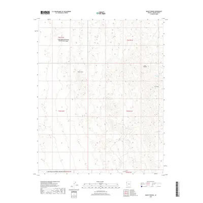
2018 Map of Mount Perkins
USGS Topo · Published 2018About this map
Mt Perkins stands as the prominent peak within this portion of the Black Mountains, a landscape defined by the arid extremes of the Mojave Desert. This 2018 survey illustrates a sparsely developed region where life is dictated by rare water sources like Cottonwood Spring and Coyote Spring. Much of the western terrain falls within the Lake Mead National Recreation Area, showing the vast public land management typical of modern Mohave County. The presence of Cottonwood Rd provides the primary transit corridor through these desert highlands. Topographic details reveal the complex drainage patterns and ridgelines that characterize this corner of Arizona, offering a clear view of the natural barriers that have historically limited settlement in this high-desert environment.
Find a feature on this map
13 named features on this map. Tap any name to fly to it.
Don’t see what you’re looking for? This feature index may not catch every label — zoom into the map to look around manually.
Map Details
Editions of this 2018 Mount Perkins Map
This is the sole edition of this map. No revisions or reprints were ever made.
Other maps of this area
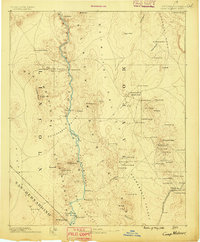
1886 · Camp Mohave
USGS Topo · 1:250,000
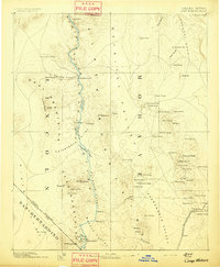
1892 · Camp Mohave
USGS Topo · 1:250,000
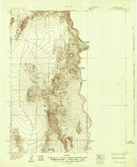
1926 · Nelson
USGS Topo · 1:96,000
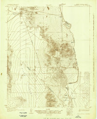
1926 · Mohave City
USGS Topo · 1:96,000
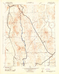
1942 · Camp Mohave
USGS Topo · 1:250,000

1947 · Kingman
USGS Topo · 1:250,000

1948 · Kingman
USGS Topo · 1:250,000

1954 · Kingman
USGS Topo · 1:250,000

1955 · Kingman
USGS Topo · 1:250,000
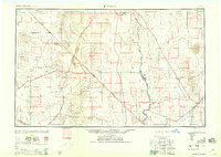
1958 · Kingman
USGS Topo · 1:250,000