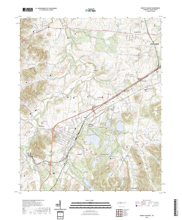
2022 Map of Mount Pleasant
USGS Topo · Published 2022About this map
Mount Pleasant serves as the industrial and residential anchor of this Maury County landscape, surrounded by a dense network of smaller historic settlements and crossroads. The town layout is clearly defined by its central core near Institute Hill and the residential reaches of Needmore, Red Row, and Frierson Town. To the east, the legacy of local phosphate and chemical processing is evidenced by the massive footprint of Stauffer Chemical Tailings Pond Number Seventeen. This modern survey records a landscape where industry and legacy intersect, from the Maury County Regional Airport to the sacred grounds of Saint Johns Cem and Polk Memorial Gardens Cem.
Find a feature on this map
95 named features on this map. Tap any name to fly to it.
Don’t see what you’re looking for? This feature index may not catch every label — zoom into the map to look around manually.
Map Details
Editions of this 2022 Mount Pleasant Map
This is the sole edition of this map. No revisions or reprints were ever made.
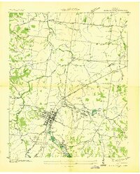
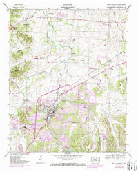
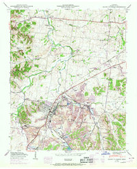
Historical Maps of Zion Through Time
4 maps found