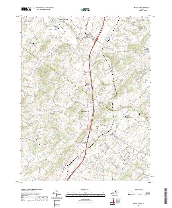
2022 Map of Mount Sidney
USGS Topo · Published 2022About this map
Mt Sidney and the surrounding Shenandoah Valley landscape appear here in a contemporary state, defined by the winding course of the North River and the significant transportation corridor of the South Valley Pike. This area, straddling the Rockingham and Augusta county line, maintains a dense network of early settlements and spiritual centers. Communities such as Weyers Cave, Burketown, and Mount Crawford are central to the region's geography, with the Blue Ridge Community College serving as a modern educational landmark.
Find a feature on this map
147 named features on this map. Tap any name to fly to it.
Don’t see what you’re looking for? This feature index may not catch every label — zoom into the map to look around manually.
Map Details
Editions of this 2022 Mount Sidney Map
This is the sole edition of this map. No revisions or reprints were ever made.
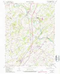
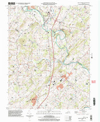
Historical Maps of Friedens Through Time
3 maps found