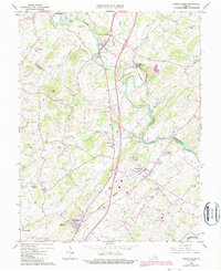
1964 Map of Mount Sidney
USGS Topo · Published 1987About this map
The North River snakes through the valley floor, defining the landscape between Bridgewater and Mount Crawford. This corridor of the Shenandoah Valley shows a mature transport network where the Chesapeake Western railroad parallels the primary highway, linking established communities like Weyers Cave and Mount Sidney. The 1984 revisions highlighted in purple capture the expansion of the Shenandoah Valley Airport and the development of the Bridgewater Air Park, reflecting the area's transition toward modern aviation infrastructure while maintaining its deep agricultural roots.
Find a feature on this map
46 named features on this map. Tap any name to fly to it.
Don’t see what you’re looking for? This feature index may not catch every label — zoom into the map to look around manually.
Map Details
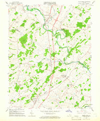
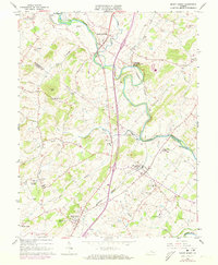
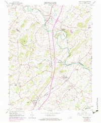
Editions of this 1964 Mount Sidney Map
4 editions found
Other maps of this area

1892 · Harrisonburg
USGS Topo · 1:125,000

1894 · Staunton
USGS Topo · 1:125,000

1934 · Waynesboro
USGS Topo · 1:48,000

1939 · Waynesboro
USGS Topo · 1:62,500

1941 · Harrisonburg
USGS Topo · 1:62,500

1943 · Harrisonburg
USGS Topo · 1:62,500

1944 · Parnassus
USGS Topo · 1:62,500

1944 · Staunton
USGS Topo · 1:62,500

1947 · Staunton
USGS Topo · 1:62,500

1947 · Parnassus
USGS Topo · 1:62,500