
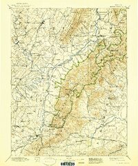
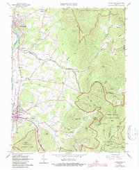
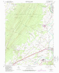
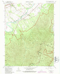
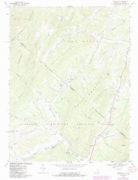
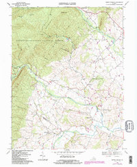
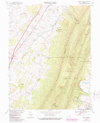
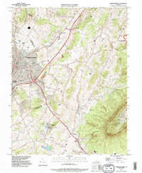
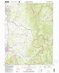
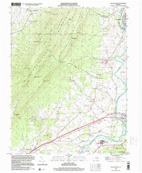
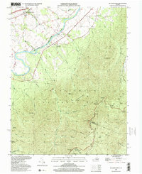
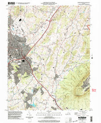
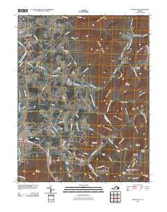
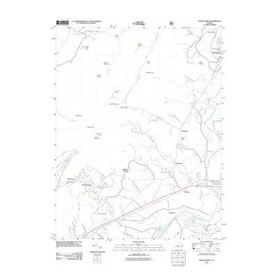
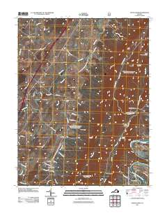
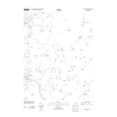
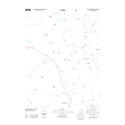
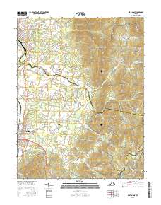
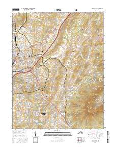
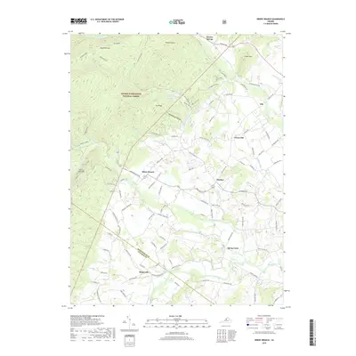
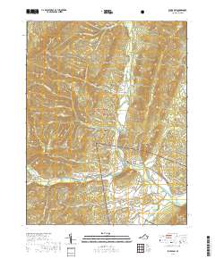
1943 Map of Harrisonburg
USGS Topo · Published 1943About this map
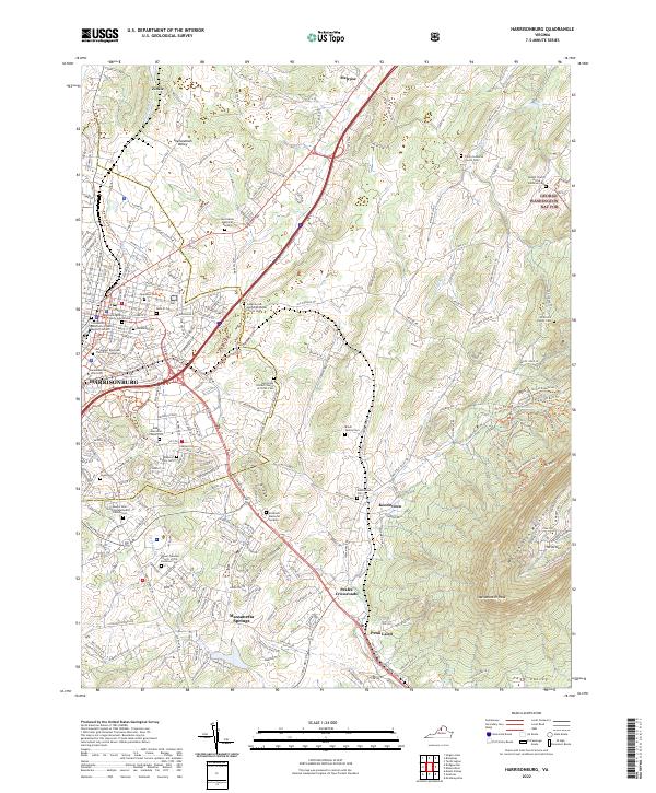
Harrisonburg serves as the central hub of this Shenandoah Valley landscape, established as a crossroads for the Lee Highway and the Memorial Highway. The early 1940s survey reveals a dense network of country churches and community anchors, including Madison College and the Lucy V. Simms School, alongside historic markers such as the Cross Keys Battle Mon and Fort Republic Battle Mon.
Find a feature on this map
97 named features on this map. Tap any name to fly to it.
Don’t see what you’re looking for? This feature index may not catch every label — zoom into the map to look around manually.
Map Details
Editions of this 1943 Harrisonburg Map
This is the sole edition of this map. No revisions or reprints were ever made.
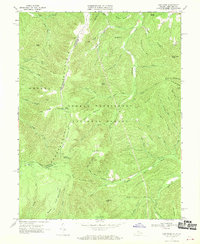
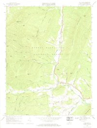
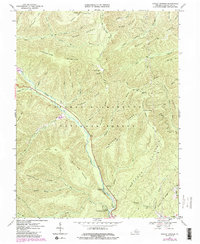
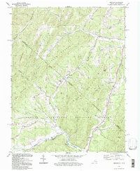
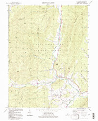
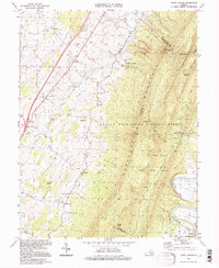
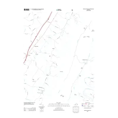
Historical Maps of Harrisonburg Through Time
71 maps found
1892 Harrisonburg
Rockingham County, VA

1941 Harrisonburg
Rockingham County, VA
1943 Harrisonburg
Rockingham County, VA
1964 Harrisonburg
Rockingham County, VA
1964 Price
Rockingham County, VA
1964 Spray
Rockingham County, VA
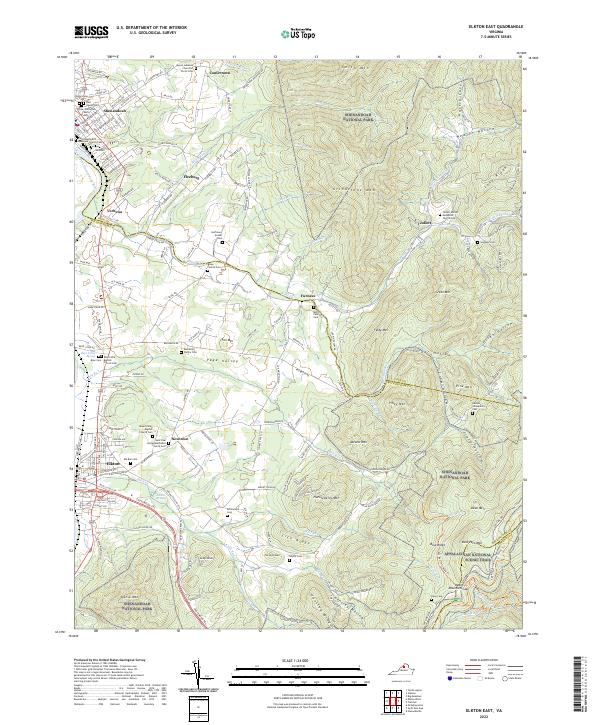
1965 Elkton East
Rockingham County, VA
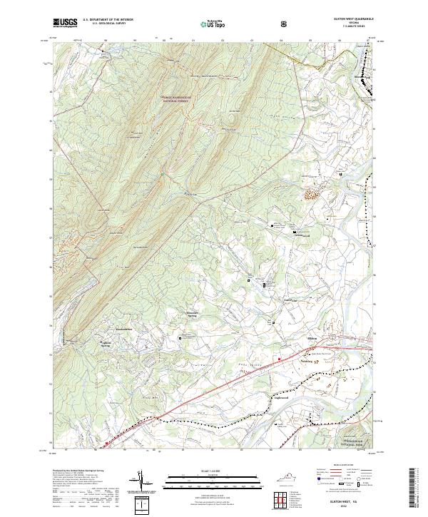
1965 Elkton West
Rockingham County, VA
1965 Mc Gaheysville
Rockingham County, VA
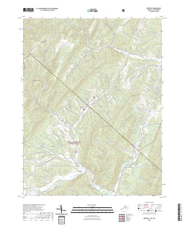
1967 Bergton
Rockingham County, VA
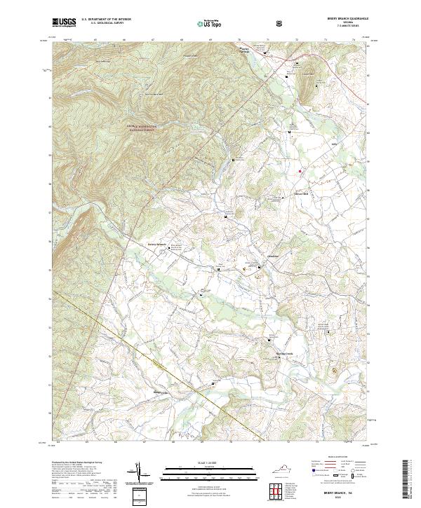
1967 Briery Branch
Rockingham County, VA
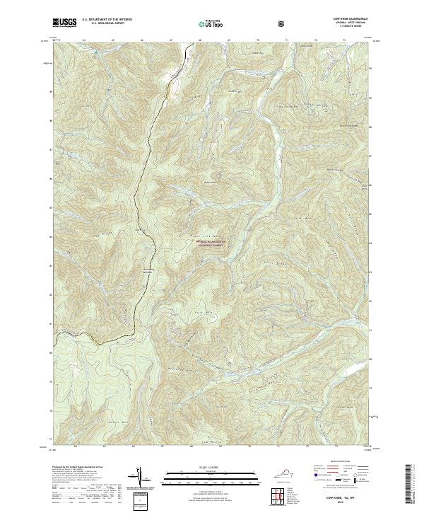
1967 Cow Knob
Rockingham County, VA
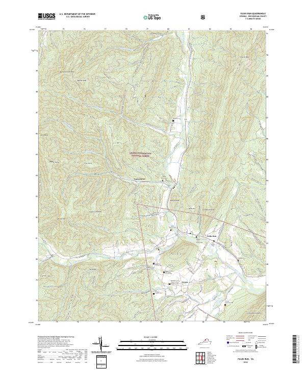
1967 Fulks Run
Rockingham County, VA
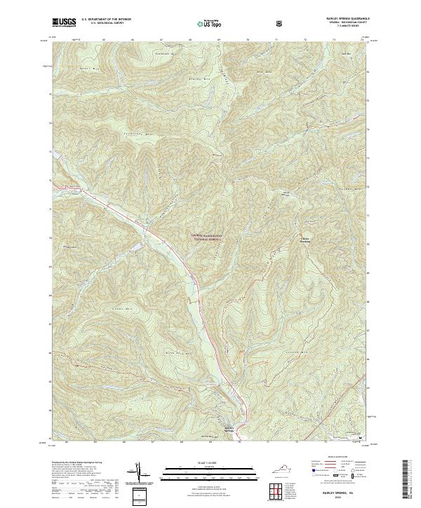
1967 Rawley Springs
Rockingham County, VA
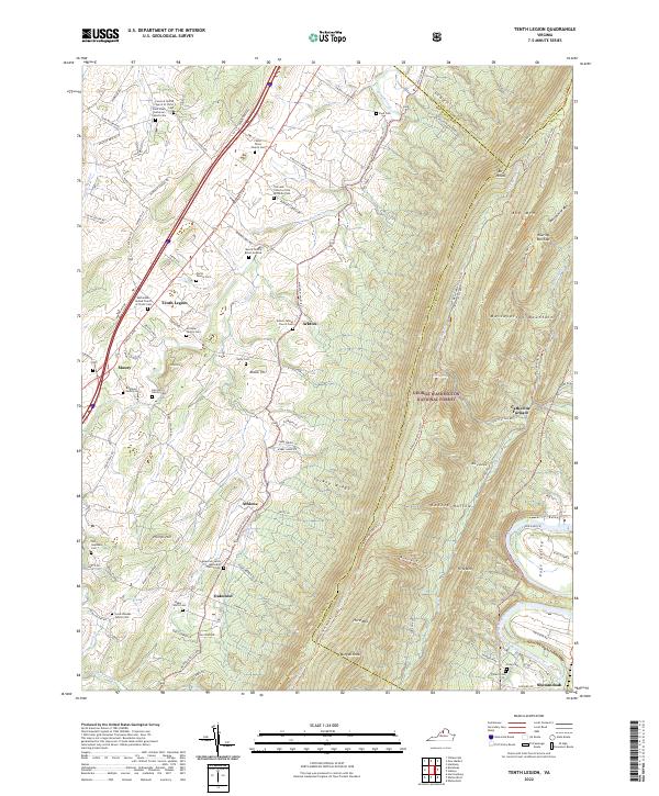
1967 Tenth Legion
Rockingham County, VA
1977 Elkton East
Rockingham County, VA
1977 Elkton West
Rockingham County, VA
1977 Mc Gaheysville
Rockingham County, VA
1989 Harrisonburg
Rockingham County, VA
1994 Bergton
Rockingham County, VA
1994 Fulks Run
Rockingham County, VA
1994 Tenth Legion
Rockingham County, VA
1997 Elkton East
Rockingham County, VA
1999 Elkton West
Rockingham County, VA
1999 Mc Gaheysville
Rockingham County, VA
2002 Harrisonburg
Rockingham County, VA
2010 Elkton East
Rockingham County, VA
2011 Bergton
Rockingham County, VA
2011 Briery Branch
Rockingham County, VA
2011 Cow Knob
Rockingham County, VA
2011 Elkton West
Rockingham County, VA
2011 Fulks Run
Rockingham County, VA
2011 Harrisonburg
Rockingham County, VA
2011 Rawley Springs
Rockingham County, VA
2011 Tenth Legion
Rockingham County, VA
2013 Bergton
Rockingham County, VA
2013 Briery Branch
Rockingham County, VA
2013 Cow Knob
Rockingham County, VA
2013 Elkton East
Rockingham County, VA
2013 Elkton West
Rockingham County, VA
2013 Fulks Run
Rockingham County, VA
2013 Harrisonburg
Rockingham County, VA
2013 Rawley Springs
Rockingham County, VA
2013 Tenth Legion
Rockingham County, VA
2016 Bergton
Rockingham County, VA
2016 Briery Branch
Rockingham County, VA
2016 Cow Knob
Rockingham County, VA
2016 Elkton East
Rockingham County, VA
2016 Elkton West
Rockingham County, VA
2016 Fulks Run
Rockingham County, VA
2016 Harrisonburg
Rockingham County, VA
2016 Rawley Springs
Rockingham County, VA
2016 Tenth Legion
Rockingham County, VA
2019 Bergton
Rockingham County, VA
2019 Briery Branch
Rockingham County, VA
2019 Cow Knob
Rockingham County, VA
2019 Elkton East
Rockingham County, VA
2019 Elkton West
Rockingham County, VA
2019 Fulks Run
Rockingham County, VA
2019 Harrisonburg
Rockingham County, VA
2019 Rawley Springs
Rockingham County, VA
2019 Tenth Legion
Rockingham County, VA
2022 Bergton
Rockingham County, VA
2022 Briery Branch
Rockingham County, VA
2022 Cow Knob
Rockingham County, VA
2022 Elkton East
Rockingham County, VA
2022 Elkton West
Rockingham County, VA
2022 Fulks Run
Rockingham County, VA
2022 Harrisonburg
Rockingham County, VA
2022 Rawley Springs
Rockingham County, VA
2022 Tenth Legion
Rockingham County, VA