
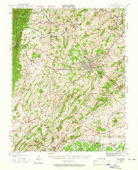
1944 Map of Staunton
USGS Topo · Published 1961About this map
The Shenandoah Valley hub of Staunton anchors this mid-century survey, revealing a landscape defined by the convergence of the Middle River and major transportation corridors. The city is a focal point for the Chesapeake and Ohio RR and the Norfolk and Western RR, supporting local industry and the commercial needs of surrounding agricultural hamlets. Numerous small settlements such as Churchville, Middlebrook, and Greenville dot the countryside, each connected by a network of rural roads that follow the valley's natural drainage patterns.
Find a feature on this map
83 named features on this map. Tap any name to fly to it.
Don’t see what you’re looking for? This feature index may not catch every label — zoom into the map to look around manually.
Map Details
Editions of this 1944 Staunton Map
2 editions found
Other maps of this area

1892 · Buckingham
USGS Topo · 1:125,000

1892 · Harrisonburg
USGS Topo · 1:125,000

1894 · Staunton
USGS Topo · 1:125,000

1894 · Lexington
USGS Topo · 1:125,000

1924 · Mc Dowell
USGS Topo · 1:62,500

1932 · Lexington
USGS Topo · 1:48,000

1934 · Waynesboro
USGS Topo · 1:48,000

1936 · Vesuvius
USGS Topo · 1:48,000

1937 · Lexington
USGS Topo · 1:62,500

1939 · Waynesboro
USGS Topo · 1:62,500