
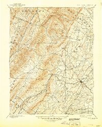
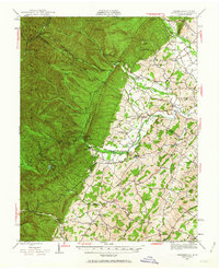
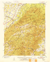
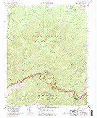
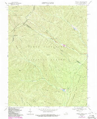
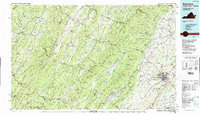
1936 Map of Vesuvius
USGS Topo · Published 1936About this map
Baltimore and Ohio and Norfolk and Western rail lines define the western lowlands of the Blue Ridge in the mid-1930s, connecting settlements like Greenville, Spottswood, and Vesuvius. This survey reveals a landscape split between established valley farming and industrial mountain extraction, evidenced by the Red Mtn Mine and Chalk Mine nestled into the high ridges. Deep within the mountains, the Appalachian Trail follows the spine of the Big Level and Torry Ridge, passing near landmarks like The Priest and The Friar. The prevalence of small rural institutions such as the Irish Creek Mission and schools like the Sally B Dickinson Sch speaks to the decentralized nature of the mountain communities during the Depression era. Conservation and state management also emerge with the State Trout Hatchery and the Alhambra CCC Camp 2355 along the Tye River.
Find a feature on this map
140 named features on this map. Tap any name to fly to it.
Don’t see what you’re looking for? This feature index may not catch every label — zoom into the map to look around manually.
Map Details
Editions of this 1936 Vesuvius Map
This is the sole edition of this map. No revisions or reprints were ever made.
Historical Maps of Cold Spring Through Time
42 maps found
1894 Staunton
Augusta County, VA
1934 Waynesboro
Augusta County, VA
1936 Vesuvius
Augusta County, VA
1939 Waynesboro
Augusta County, VA
1941 Vesuvius
Augusta County, VA
1944 Parnassus
Augusta County, VA
1944 Staunton
Augusta County, VA
1947 Parnassus
Augusta County, VA

1947 Staunton
Augusta County, VA
1950 Vesuvius
Augusta County, VA
1951 Vesuvius
Augusta County, VA
1964 Fort Defiance
Augusta County, VA
1964 Staunton
Augusta County, VA
1964 Waynesboro West
Augusta County, VA
1965 Big Levels
Augusta County, VA
1965 Vesuvius
Augusta County, VA
1967 Elliott Knob
Augusta County, VA
1967 Parnassus
Augusta County, VA
1967 Reddish Knob
Augusta County, VA

1967 Stokesville
Augusta County, VA
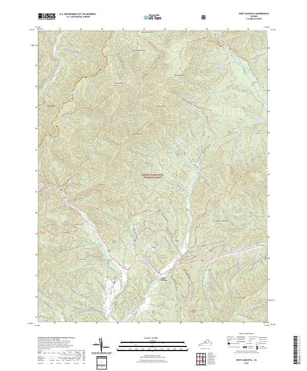
1967 West Augusta
Augusta County, VA
1969 Palo Alto
Augusta County, VA
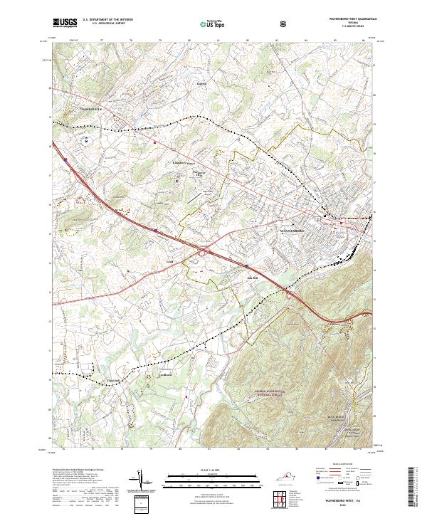
1973 Waynesboro West
Augusta County, VA
1986 Staunton
Augusta County, VA

1998 Staunton
Augusta County, VA

1999 Big Levels
Augusta County, VA
1999 Elliott Knob
Augusta County, VA

1999 Palo Alto
Augusta County, VA

1999 Reddish Knob
Augusta County, VA

1999 Stokesville
Augusta County, VA
1999 West Augusta
Augusta County, VA
2022 Big Levels
Augusta County, VA
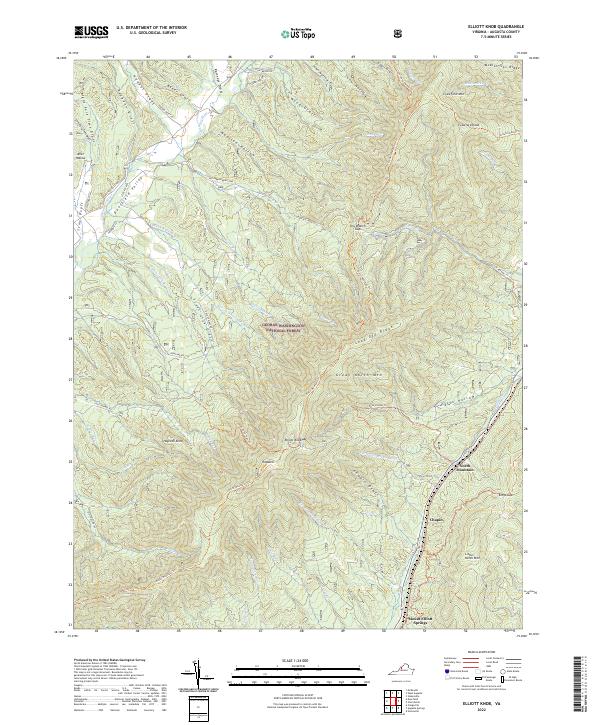
2022 Elliott Knob
Augusta County, VA
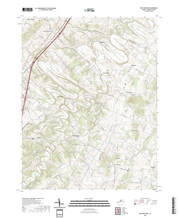
2022 Fort Defiance
Augusta County, VA
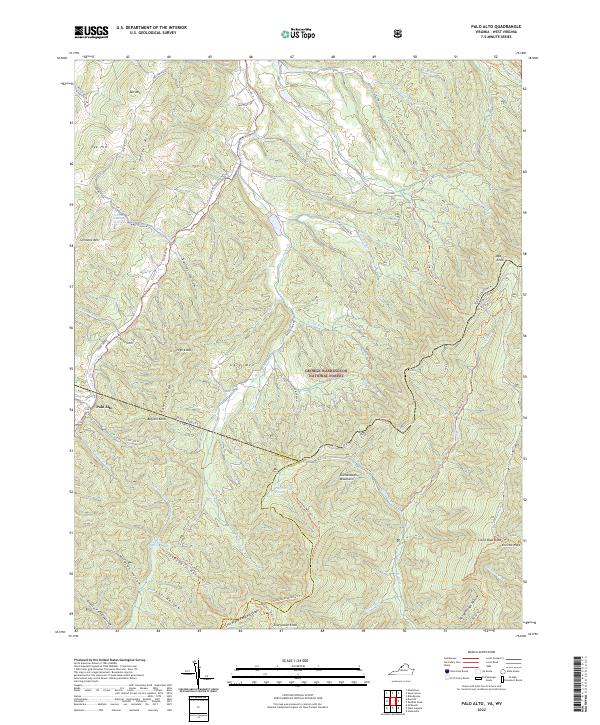
2022 Palo Alto
Augusta County, VA
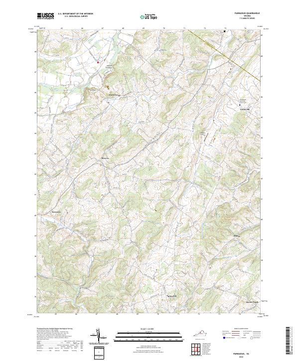
2022 Parnassus
Augusta County, VA
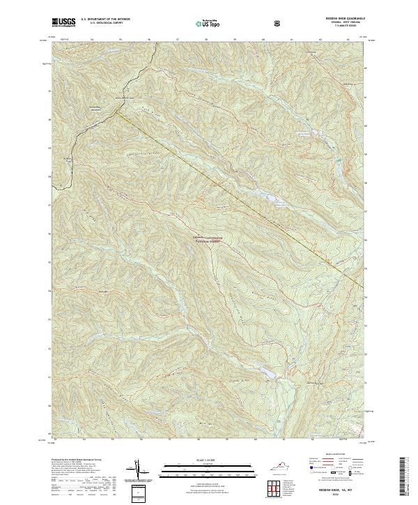
2022 Reddish Knob
Augusta County, VA
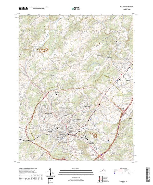
2022 Staunton
Augusta County, VA
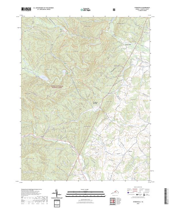
2022 Stokesville
Augusta County, VA
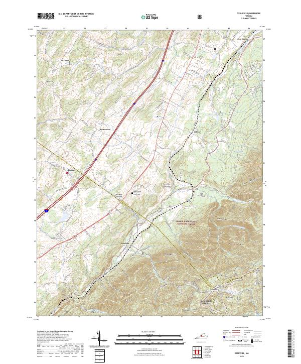
2022 Vesuvius
Augusta County, VA
2022 Waynesboro West
Augusta County, VA
2022 West Augusta
Augusta County, VA