
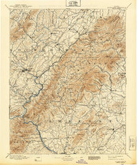
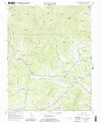
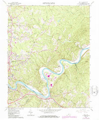
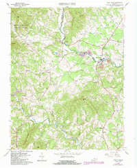
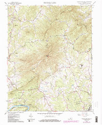
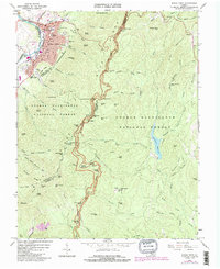
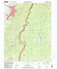
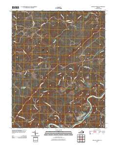
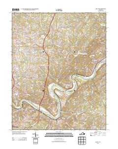
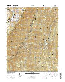
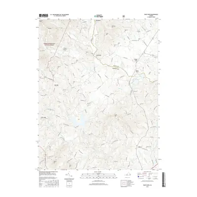
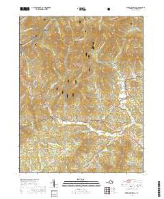
1935 Map of Buena Vista
USGS Topo · Published 1935About this map
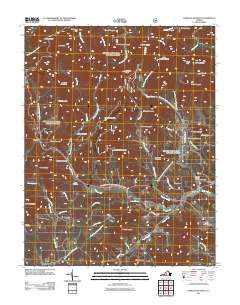
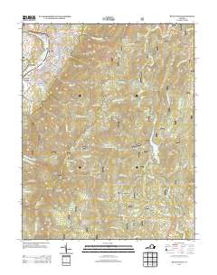
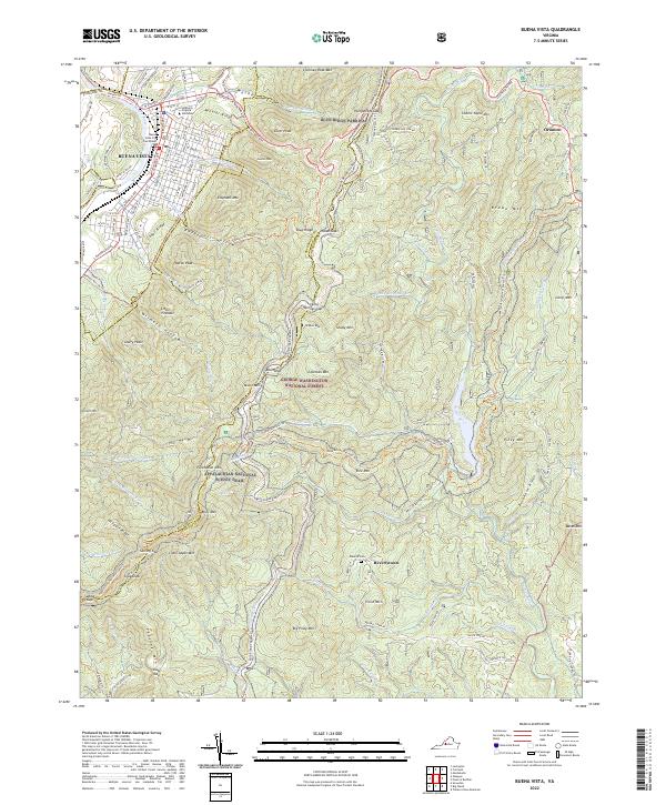
Industrial infrastructure along the James River and the Maury River defines this mid-1930s survey of the Virginia landscape. The Virginia Public Service Power Plant and the Gooseneck Dam highlight the era's energy development, while the Lone Jack Quarry indicates local extraction industries. The transportation network is anchored by the Norfolk And Western Railway and the Chesapeake And Ohio Railway, which follow the river valleys through the Blue Ridge Mountains.
Find a feature on this map
95 named features on this map. Tap any name to fly to it.
Don’t see what you’re looking for? This feature index may not catch every label — zoom into the map to look around manually.
Map Details
Editions of this 1935 Buena Vista Map
This is the sole edition of this map. No revisions or reprints were ever made.
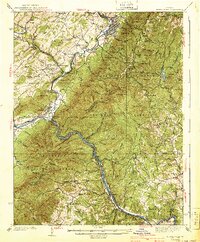
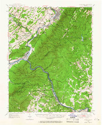
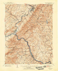
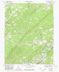
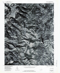
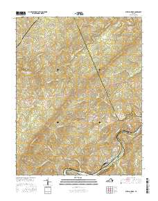
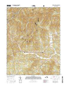
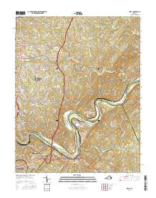
Historical Maps of Buena Vista Through Time
44 maps found
1894 Buena Vista
Amherst County, VA
1935 Buena Vista
Amherst County, VA

1939 Buena Vista
Amherst County, VA
1940 Buena Vista
Amherst County, VA
1950 Buena Vista
Amherst County, VA
1952 Buena Vista
Amherst County, VA
1963 Forks of Buffalo
Amherst County, VA
1963 Kelly
Amherst County, VA
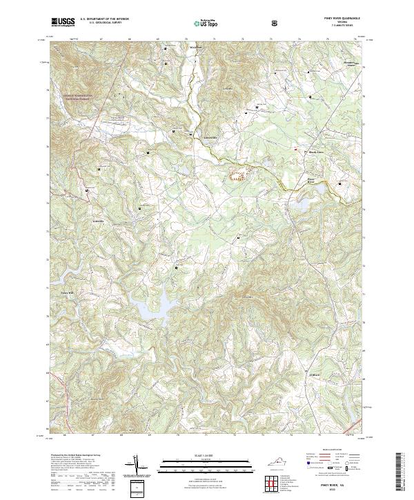
1963 Piney River
Amherst County, VA
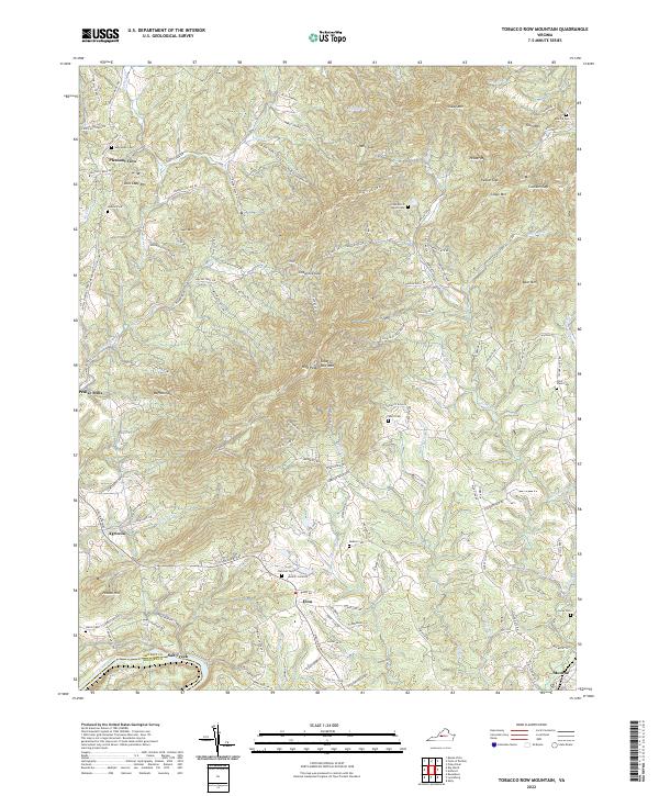
1963 Tobacco Row Mtn
Amherst County, VA
1965 Buena Vista
Amherst County, VA
1969 Buffalo Ridge
Amherst County, VA
1977 Buena Vista
Amherst County, VA
1999 Buena Vista
Amherst County, VA
2010 Buffalo Ridge
Amherst County, VA
2010 Kelly
Amherst County, VA
2010 Tobacco Row Mountain
Amherst County, VA
2011 Buena Vista
Amherst County, VA
2011 Forks of Buffalo
Amherst County, VA
2011 Piney River
Amherst County, VA
2013 Buena Vista
Amherst County, VA
2013 Buffalo Ridge
Amherst County, VA
2013 Forks of Buffalo
Amherst County, VA
2013 Kelly
Amherst County, VA
2013 Piney River
Amherst County, VA
2013 Tobacco Row Mountain
Amherst County, VA
2016 Buena Vista
Amherst County, VA
2016 Buffalo Ridge
Amherst County, VA
2016 Forks of Buffalo
Amherst County, VA
2016 Kelly
Amherst County, VA
2016 Piney River
Amherst County, VA
2016 Tobacco Row Mountain
Amherst County, VA
2019 Buena Vista
Amherst County, VA
2019 Buffalo Ridge
Amherst County, VA
2019 Forks of Buffalo
Amherst County, VA
2019 Kelly
Amherst County, VA
2019 Piney River
Amherst County, VA
2019 Tobacco Row Mountain
Amherst County, VA
2022 Buena Vista
Amherst County, VA
2022 Buffalo Ridge
Amherst County, VA
2022 Forks of Buffalo
Amherst County, VA
2022 Kelly
Amherst County, VA
2022 Piney River
Amherst County, VA
2022 Tobacco Row Mountain
Amherst County, VA