
1907 Map of Natural Bridge Special
USGS Topo · Published 1907About this map
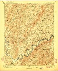
The Natural Bridge landmark anchors this 1907 survey, which reveals a transition from industrial ironwork to a rail-and-river economy. Along the winding James River, the Shenandoah Division and the Chesapeake and Ohio RR connect riverfront communities like Buchanan, Indianrock, and Rockypoint. Remnants of earlier industry are evident at Jane Furnace (Ruins) and Rebecca Furnace (Ruins) near Rocky Ford Mill, indicating the iron-founding history of the North Mountain area.
Find a feature on this map
155 named features on this map. Tap any name to fly to it.
Don’t see what you’re looking for? This feature index may not catch every label — zoom into the map to look around manually.
Map Details
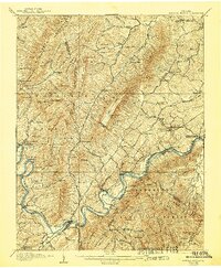
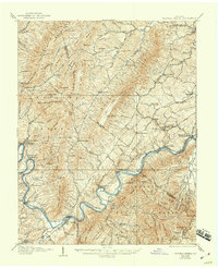
Editions of this 1907 Natural Bridge Special Map
4 editions found
Other maps of this area

1890 · Roanoke
USGS Topo · 1:125,000

1891 · Roanoke
USGS Topo · 1:125,000

1892 · Lynchburg
USGS Topo · 1:125,000

1894 · Natural Bridge
USGS Topo · 1:125,000

1894 · Lexington
USGS Topo · 1:125,000

1894 · Natural Bridge
USGS Topo · 1:62,500

1913 · Eagle Rock
USGS Topo · 1:48,000

1915 · Eagle Rock
USGS Topo · 1:62,500

1929 · Roanoke
USGS Topo · 1:48,000

1932 · Lexington
USGS Topo · 1:48,000