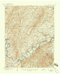
1907 Map of Natural Bridge
USGS Topo · Published 1944About this map
Buchanan and the winding James River anchor this early twentieth-century survey of the Virginia highlands, where industrial relics and rural settlements occupy the narrow valleys between North Mountain and Biggs Mtn. Evidence of the region's iron-making history is preserved in labels for the Jane Furnace (Ruins) and Rebecca Furnace, while the local economy is further detailed by numerous water-powered sites such as Rapps Mill and Red Mills.
Find a feature on this map
124 named features on this map. Tap any name to fly to it.
Don’t see what you’re looking for? This feature index may not catch every label — zoom into the map to look around manually.
Map Details
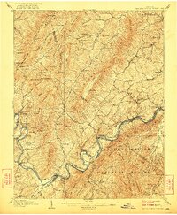
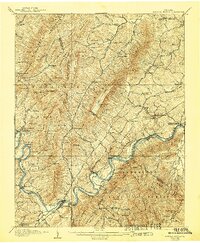
Editions of this 1907 Natural Bridge Map
4 editions found
Other maps of this area

1890 · Roanoke
USGS Topo · 1:125,000

1891 · Roanoke
USGS Topo · 1:125,000

1892 · Lynchburg
USGS Topo · 1:125,000

1894 · Natural Bridge
USGS Topo · 1:125,000

1894 · Lexington
USGS Topo · 1:125,000

1894 · Natural Bridge
USGS Topo · 1:62,500

1907 · Natural Bridge Special
USGS Topo · 1:62,500

1913 · Eagle Rock
USGS Topo · 1:48,000

1915 · Eagle Rock
USGS Topo · 1:62,500

1929 · Roanoke
USGS Topo · 1:48,000