
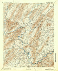
1894 Map of Natural Bridge
USGS Topo · Published 1898About this map
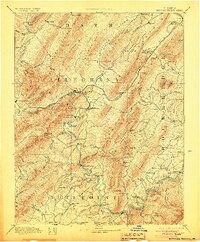
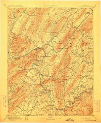
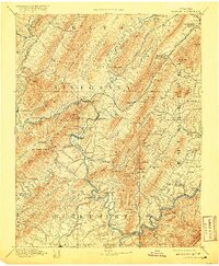
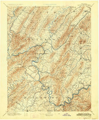
Iron production and mineral springs define the landscape of the central Appalachian ridges in the late nineteenth century. Industrial landmarks like Long Dale Furnace, Glen Wilton Furnace, and Salisbury Furnace sit near the steep slopes of Rich Patch Mtn and North Mountain, where the Chesapeake and Ohio Railroad follows the winding path of the Jackson River and James River. These rivers served as critical corridors for the movement of pig iron and ore from sites like the Victoria Mines.
Find a feature on this map
161 named features on this map. Tap any name to fly to it.
Don’t see what you’re looking for? This feature index may not catch every label — zoom into the map to look around manually.
Map Details
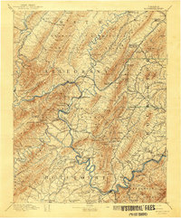
Editions of this 1894 Natural Bridge Map
7 editions found
Other maps of this area

1887 · Lewisburg
USGS Topo · 1:125,000

1890 · Roanoke
USGS Topo · 1:125,000

1890 · Christiansburg
USGS Topo · 1:125,000

1891 · Roanoke
USGS Topo · 1:125,000

1891 · Lewisburg
USGS Topo · 1:125,000

1891 · Huntersville
USGS Topo · 1:125,000

1892 · Lynchburg
USGS Topo · 1:125,000

1894 · Huntersville
USGS Topo · 1:125,000

1894 · Staunton
USGS Topo · 1:125,000

1894 · Lexington
USGS Topo · 1:125,000