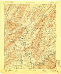
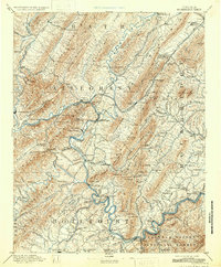
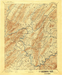
1894 Map of Natural Bridge
USGS Topo · Published 1920About this map
Covington and Clifton Forge serve as central nodes in this late nineteenth-century portrait of Virginia's mountain industrial corridor. The landscape is defined by the extraction and processing of iron, evidenced by the Victoria Mines, Long Dale Mines, and smelting operations at Princess Furnace and Long Dale Furnace. These industrial sites are linked by the Chesapeake and Ohio Railroad, which follows the complex water gaps of the Jackson River and James River.
Find a feature on this map
128 named features on this map. Tap any name to fly to it.
Don’t see what you’re looking for? This feature index may not catch every label — zoom into the map to look around manually.
Map Details
Editions of this 1894 Natural Bridge Map
7 editions found
Other maps of this area

1887 · Lewisburg
USGS Topo · 1:125,000

1890 · Roanoke
USGS Topo · 1:125,000

1890 · Christiansburg
USGS Topo · 1:125,000

1891 · Roanoke
USGS Topo · 1:125,000

1891 · Lewisburg
USGS Topo · 1:125,000

1891 · Huntersville
USGS Topo · 1:125,000

1892 · Lynchburg
USGS Topo · 1:125,000

1894 · Huntersville
USGS Topo · 1:125,000

1894 · Staunton
USGS Topo · 1:125,000

1894 · Natural Bridge
USGS Topo · 1:125,000