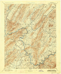
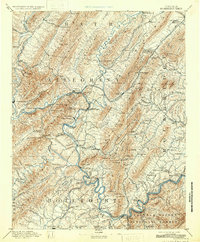
1894 Map of Natural Bridge
USGS Topo · Published 1926About this map
Princess Furnace, Castle Furnace, and the Long Dale Mines anchor an industrial landscape where the iron and mineral trade shaped the terrain of western Virginia. This late-nineteenth-century reconnaissance survey follows the Jackson River and James River through a maze of steep ridges like Warm Spring Mtn and Rat Hole Mt. The presence of several furnace sites and the Victoria Mines alongside the Chesapeake and Ohio RR highlights an era of intensive extraction. Beyond industry, the map documents a culture of mountain resorts, with Hot Springs, Healing Springs, and Rockbridge Alum Sprs drawing visitors to the region's thermal waters. Genealogists can trace early connections at Zion Hill Ch or the Lick Run Ferry, providing a rare look at the valley's settlement pattern before modern development.
Find a feature on this map
126 named features on this map. Tap any name to fly to it.
Don’t see what you’re looking for? This feature index may not catch every label — zoom into the map to look around manually.
Map Details
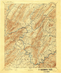
Editions of this 1894 Natural Bridge Map
7 editions found
Other maps of this area

1887 · Lewisburg
USGS Topo · 1:125,000

1890 · Roanoke
USGS Topo · 1:125,000

1890 · Christiansburg
USGS Topo · 1:125,000

1891 · Roanoke
USGS Topo · 1:125,000

1891 · Lewisburg
USGS Topo · 1:125,000

1891 · Huntersville
USGS Topo · 1:125,000

1892 · Lynchburg
USGS Topo · 1:125,000

1894 · Huntersville
USGS Topo · 1:125,000

1894 · Staunton
USGS Topo · 1:125,000

1894 · Natural Bridge
USGS Topo · 1:125,000