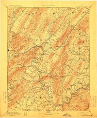
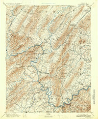
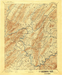
1894 Map of Natural Bridge
USGS Topo · Published 1911About this map
The iron and furnace industry of the late 19th century defines this landscape where the Jackson River and Cowpasture River meet. The presence of Long Dale Furnace, Callie Furnace, and Princess Furnace suggests a period of intense industrial activity fueled by local resources. Transport and trade are anchored by the Chesapeake and Ohio RR, which follows the river valleys, connecting workers at the Long Dale Mines and Victoria Mines to regional markets.
Find a feature on this map
185 named features on this map. Tap any name to fly to it.
Don’t see what you’re looking for? This feature index may not catch every label — zoom into the map to look around manually.
Map Details
Editions of this 1894 Natural Bridge Map
7 editions found
Other maps of this area

1887 · Lewisburg
USGS Topo · 1:125,000

1890 · Roanoke
USGS Topo · 1:125,000

1890 · Christiansburg
USGS Topo · 1:125,000

1891 · Roanoke
USGS Topo · 1:125,000

1891 · Lewisburg
USGS Topo · 1:125,000

1891 · Huntersville
USGS Topo · 1:125,000

1892 · Lynchburg
USGS Topo · 1:125,000

1894 · Huntersville
USGS Topo · 1:125,000

1894 · Staunton
USGS Topo · 1:125,000

1894 · Natural Bridge
USGS Topo · 1:125,000