
1894 Map of Huntersville
USGS Topo · Published 1894About this map
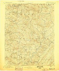
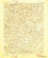
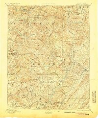
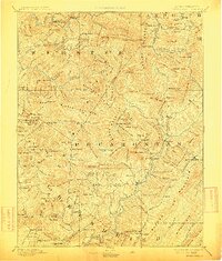
Hillsboro Academy serves as a cultural anchor in this 1890s survey of the Allegheny Mountains, where the West Virginia highlands remain dominated by complex river systems and high knobs. The landscape is defined by the headwaters of the Gauley River, Williams River, and Greenbrier River, which carve deep valleys between massive ridges. Small rural settlements like Addison, Marlinton, and Huntersville are scattered across the terrain, connected by primitive trails and the natural corridors of the waterways.
Find a feature on this map
149 named features on this map. Tap any name to fly to it.
Don’t see what you’re looking for? This feature index may not catch every label — zoom into the map to look around manually.
Map Details
Editions of this 1894 Huntersville Map
5 editions found
Other maps of this area

1887 · Hinton
USGS Topo · 1:125,000

1887 · Lewisburg
USGS Topo · 1:125,000

1889 · Nicholas
USGS Topo · 1:125,000

1889 · Beverly
USGS Topo · 1:125,000

1891 · Lewisburg
USGS Topo · 1:125,000

1891 · Nicholas
USGS Topo · 1:125,000

1891 · Huntersville
USGS Topo · 1:125,000

1892 · Beverly
USGS Topo · 1:125,000

1892 · Hinton
USGS Topo · 1:125,000

1893 · Buckhannon
USGS Topo · 1:125,000
Featured Places
- Marlinton, WV
- Addison (Webster Springs), WV
- Webster Springs, Addison (Webster Springs)
- Hillsboro, WV
- Upper Mingo, WV