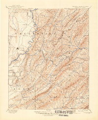
1887 Map of Lewisburg
USGS Topo · Published 1887About this map
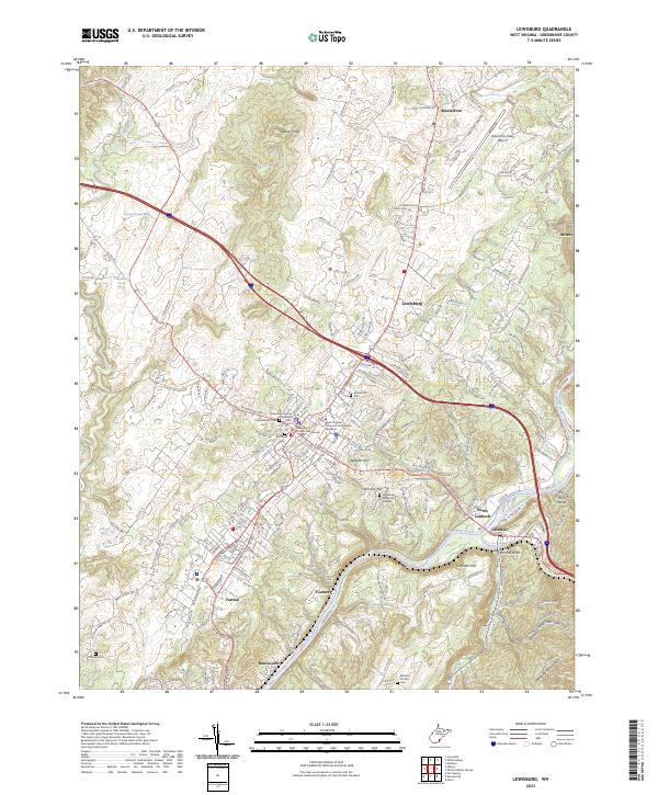
Lewisburg and the winding Greenbrier River anchor this late-nineteenth-century study of the Appalachian borderlands between West Virginia and Virginia. The landscape is defined by the heavy infrastructure of the Chesapeake and Ohio Railroad, which pierces the continental divide through massive engineering feats like the Allegheny Tunnel, Lewis Tunnel, and Mud Tunnel. This rail corridor facilitated the growth of resort culture and industry, connecting the famous waters of White Sulphur Springs, Sweet Spring, and Sweet Chalybeate Spring to the outside world.
Find a feature on this map
138 named features on this map. Tap any name to fly to it.
Don’t see what you’re looking for? This feature index may not catch every label — zoom into the map to look around manually.
Map Details
Editions of this 1887 Lewisburg Map
This is the sole edition of this map. No revisions or reprints were ever made.
Historical Maps of Lewisburg Through Time
6 maps found