
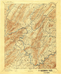
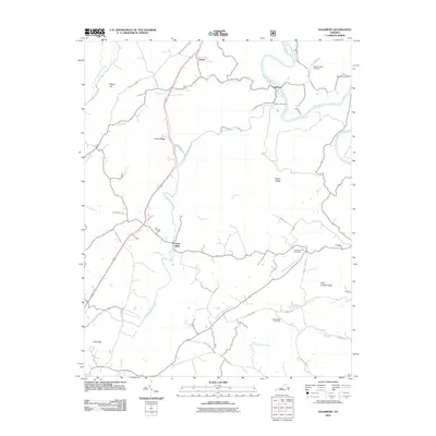
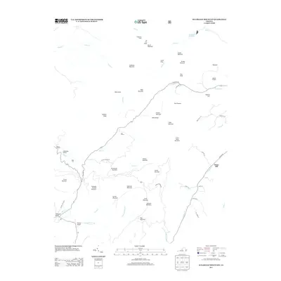
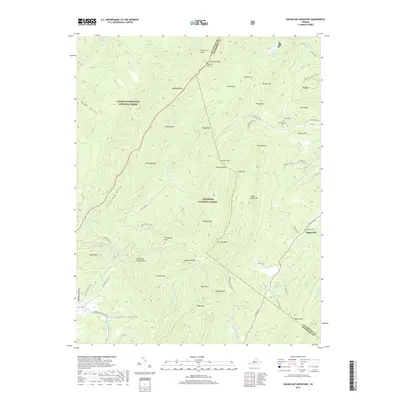
1894 Map of Natural Bridge
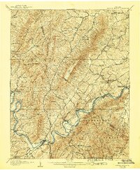
USGS Topo · Published 1926About this map
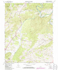
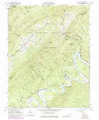
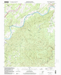
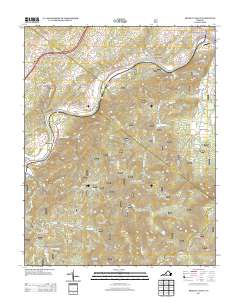
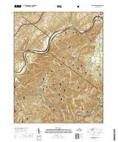
The James River and Jackson River carve through the deep ridges of the Alleghenies in this late 19th-century survey, revealing a landscape defined by heavy industry and river-crossings. The region was a hub for iron production, evidenced by the scattered locations of the Calle Furnace, Glen Wilton Princess Furnace, and Long Dale Furnace. These industrial sites relied on the Chesapeake and Ohio Railroad and the Richmond and Alleghany Railroad to transport materials through narrow gaps in the mountains.
Find a feature on this map
161 named features on this map. Tap any name to fly to it.
Don’t see what you’re looking for? This feature index may not catch every label — zoom into the map to look around manually.
Map Details
Editions of this 1894 Natural Bridge Map
This is the sole edition of this map. No revisions or reprints were ever made.
Historical Maps of Buchanan Through Time
41 maps found
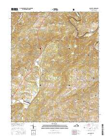
1894 Natural Bridge
Botetourt County, VA
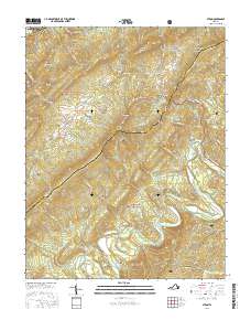
1894 Rockbridge
Botetourt County, VA
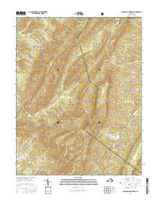
1907 Natural Bridge
Botetourt County, VA
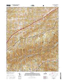
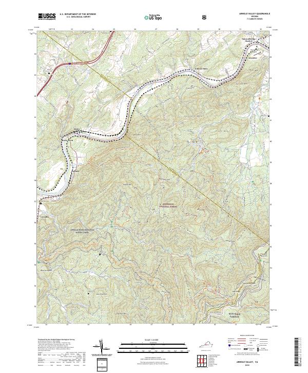
1961 Arnold Valley
Botetourt County, VA
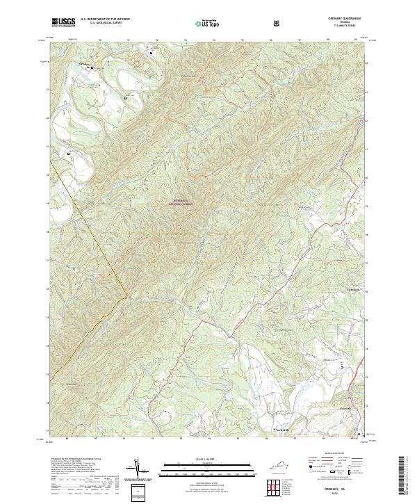
1962 Oriskany
Botetourt County, VA
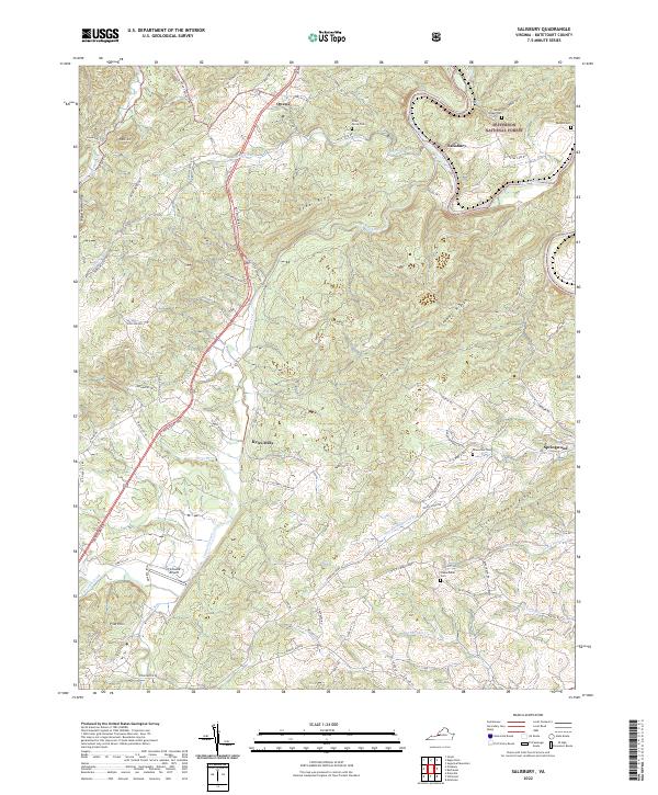
1962 Salisbury
Botetourt County, VA
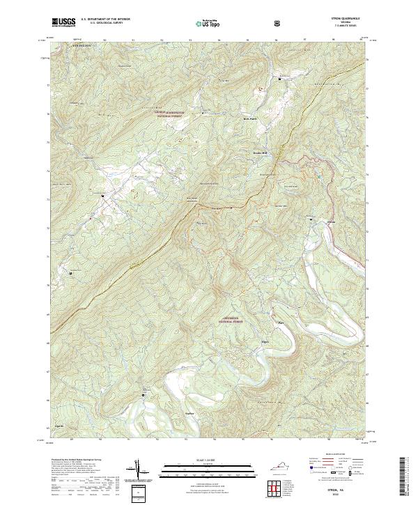
1962 Strom
Botetourt County, VA
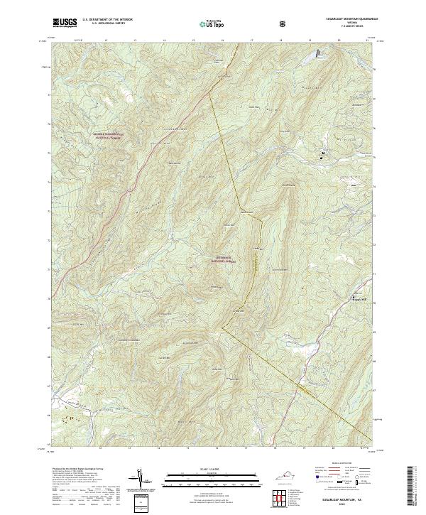
1962 Sugarloaf Mtn
Botetourt County, VA
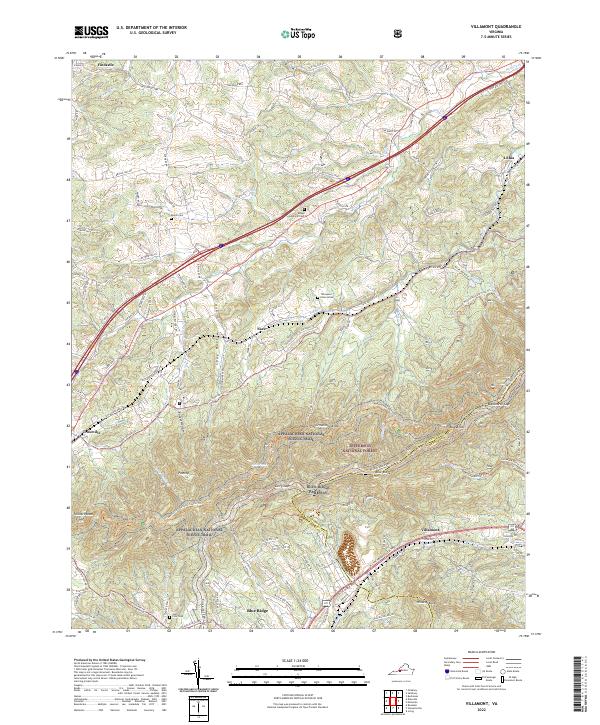
1963 Villamont
Botetourt County, VA
1999 Arnold Valley
Botetourt County, VA
1999 Villamont
Botetourt County, VA
2011 Arnold Valley
Botetourt County, VA
2011 Oriskany
Botetourt County, VA
2011 Salisbury
Botetourt County, VA
2011 Strom
Botetourt County, VA
2011 Sugarloaf Mountain
Botetourt County, VA
2011 Villamont
Botetourt County, VA
2013 Arnold Valley
Botetourt County, VA
2013 Oriskany
Botetourt County, VA
2013 Salisbury
Botetourt County, VA
2013 Strom
Botetourt County, VA
2013 Sugarloaf Mountain
Botetourt County, VA
2013 Villamont
Botetourt County, VA
2016 Arnold Valley
Botetourt County, VA
2016 Oriskany
Botetourt County, VA
2016 Salisbury
Botetourt County, VA
2016 Strom
Botetourt County, VA
2016 Sugarloaf Mountain
Botetourt County, VA
2016 Villamont
Botetourt County, VA
2019 Arnold Valley
Botetourt County, VA
2019 Oriskany
Botetourt County, VA
2019 Salisbury
Botetourt County, VA
2019 Strom
Botetourt County, VA
2019 Sugarloaf Mountain
Botetourt County, VA
2019 Villamont
Botetourt County, VA
2022 Arnold Valley
Botetourt County, VA
2022 Oriskany
Botetourt County, VA
2022 Salisbury
Botetourt County, VA
2022 Strom
Botetourt County, VA
2022 Sugarloaf Mountain
Botetourt County, VA
2022 Villamont
Botetourt County, VA