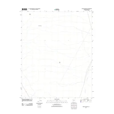
2011 Map of Mount Wilson
USGS Topo · Published 2011About this map
Mount Wilson and the long spine of Wilson Ridge dominate this corner of Mohave County, where the high desert terrain transitions toward the Colorado River basin. This 2011 survey by the U.S. Geological Survey documents a landscape defined by significant elevation changes and seasonal drainage patterns, most notably Detrital Wash, which cuts through the eastern portion of the quadrangle. Aside from the prominence of Black Butte in the central-east, the area is characterized by its open, arid geography and sparse infrastructure, typical of the high Mojave Desert. The map serves as a primary record of the topographic relief and natural landmarks that have guided travelers and surveyors through this section of Arizona for generations.
Find a feature on this map
4 named features on this map. Tap any name to fly to it.
Don’t see what you’re looking for? This feature index may not catch every label — zoom into the map to look around manually.
Map Details
Editions of this 2011 Mount Wilson Map
This is the sole edition of this map. No revisions or reprints were ever made.
Other maps of this area

1886 · Camp Mohave
USGS Topo · 1:250,000

1886 · Saint Thomas
USGS Topo · 1:250,000

1892 · Camp Mohave
USGS Topo · 1:250,000

1893 · Saint Thomas
USGS Topo · 1:250,000

1926 · Nelson
USGS Topo · 1:96,000

1926 · Bonelli
USGS Topo · 1:96,000

1926 · Boulder Canyon
USGS Topo · 1:96,000

1942 · Camp Mohave
USGS Topo · 1:250,000

1947 · Kingman
USGS Topo · 1:250,000

1948 · Kingman
USGS Topo · 1:250,000