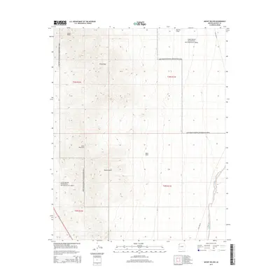
2014 Map of Mount Wilson
USGS Topo · Published 2014About this map
Mount Wilson and the prominent Wilson Ridge dominate this section of the Black Mountains in northwest Arizona. The landscape transitions from the high elevations of the peaks down into the Mojave Desert and the sweeping Detrital Valley. Large portions of the terrain are protected as part of the Lake Mead National Recreation Area, where the drainage of Detrital Wash carves through the arid floor. Human presence is marked by infrastructure like Temple Bar Rd and the corridor of Us 93, which skirts the western edge of the mountains. The map illustrates the stark physical geography of the region, from the volcanic-associated Black Butte to the complex topography of the mountain range before it descends toward the Colorado River basin.
Find a feature on this map
16 named features on this map. Tap any name to fly to it.
Don’t see what you’re looking for? This feature index may not catch every label — zoom into the map to look around manually.
Map Details
Editions of this 2014 Mount Wilson Map
This is the sole edition of this map. No revisions or reprints were ever made.
Other maps of this area

1886 · Camp Mohave
USGS Topo · 1:250,000

1886 · Saint Thomas
USGS Topo · 1:250,000

1892 · Camp Mohave
USGS Topo · 1:250,000

1893 · Saint Thomas
USGS Topo · 1:250,000

1926 · Nelson
USGS Topo · 1:96,000

1926 · Bonelli
USGS Topo · 1:96,000

1926 · Boulder Canyon
USGS Topo · 1:96,000

1942 · Camp Mohave
USGS Topo · 1:250,000

1947 · Kingman
USGS Topo · 1:250,000

1948 · Kingman
USGS Topo · 1:250,000