2024 Map of Mountainburg
USGS Topo · Published 2024About this map
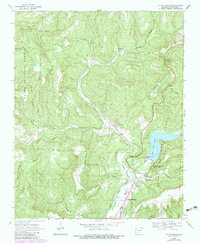
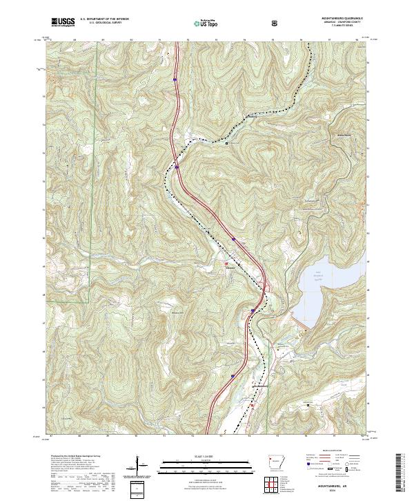
Ozark National Forest dominates the terrain of northern Crawford County, where the Ozark Mountains are carved by a dense network of drainages. The landscape is defined by its verticality, with high points like Meadow Mtn and Cartwright Mtn overlooking the major water catchments of Lake Fort Smith and Lake Shepherd Springs. The settlement pattern follows the contours of the land, with Mountainburg and Chester serving as primary hubs along the mountain passes. Local genealogy and history are anchored by several upland burial grounds, including Hillcrest Cem and the Basham Memorial Cem. A complex road system, featuring names like Boston Mountain RD and Rackley Mountain RD, traces the ridges and hollows that have shaped travel in this region for generations. The map also highlights the convergence of several waterways into Frog Bayou, a central hydrological feature of the area.
Find a feature on this map
86 named features on this map. Tap any name to fly to it.
Don’t see what you’re looking for? This feature index may not catch every label — zoom into the map to look around manually.
Map Details
Editions of this 2024 Mountainburg Map
This is the sole edition of this map. No revisions or reprints were ever made.