Loading...
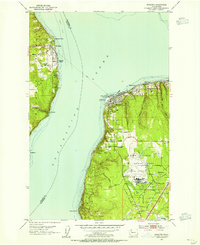
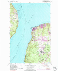
Loading map...1953 Map of Mukilteo
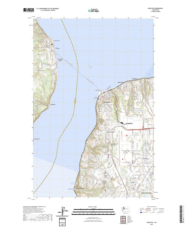
USGS Topo · Published 1955About this map
Paine Field and its accompanying Air Force Base dominate the landscape of Snohomish County in the early 1950s, serving as a massive aviation hub just south of Mukilteo. This era finds the coastline shaped by the Great Northern railroad, which tracks along the eastern shore of Possession Sound past communities like Edgewater and Darlington. The map captures the vital maritime connection between the mainland and the eastern edge of Whidbey Island, where a Ferry link joins the village of Clinton to the mainland at Elliot Point.
Find a feature on this map
37 named features on this map. Tap any name to fly to it.
Don’t see what you’re looking for? This feature index may not catch every label — zoom into the map to look around manually.
Map Details
Date Portrayed1953
Date Published1955
PublisherU.S. Geological Survey
Map TypeTopographic
Scale1:24000
Physical Dimensions22 x 26.9 inches
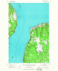
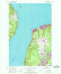
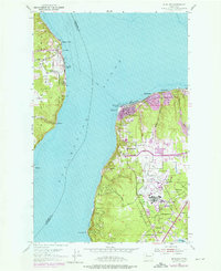
Editions of this 1953 Mukilteo Map
5 editions found
Historical Maps of Harborview - Seahurst - Glenhaven Through Time
Featured Locations
Source Details
SourceU.S. Geological Survey
CopyrightPublic Domain