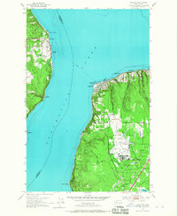
1953 Map of Mukilteo
USGS Topo · Published 1967About this map
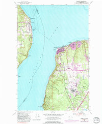
Paine Field Air Force Base dominates the landscape of southern Snohomish County in this mid-century survey, its expansive runways and County Airport facilities serving as a major hub of aviation activity. The map illustrates the coastal interface of Possession Sound, where a Ferry line links the mainland at Mukilteo to Clinton on Whidbey Island. Along the eastern shore, the Great Northern railroad tracks skirt the waterfront, connecting coastal settlements like Edgewater and Darlington. Inland development is anchored by neighborhoods such as Fairmont and the Fairmount School, while the northern tip of the mainland is preserved as Mukilteo State Park, featuring a prominent lighthouse at Elliot Point. This documentation of the 1950s coastline reveals a mix of military infrastructure, growing residential communities, and the vital maritime and rail corridors of the Puget Sound region.
Find a feature on this map
33 named features on this map. Tap any name to fly to it.
Don’t see what you’re looking for? This feature index may not catch every label — zoom into the map to look around manually.
Map Details
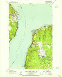
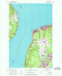
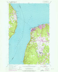
Editions of this 1953 Mukilteo Map
5 editions found
Other maps of this area

1895 · Snohomish
USGS Topo · 1:125,000

1897 · Seattle
USGS Topo · 1:125,000

1911 · Mount Vernon
USGS Topo · 1:125,000

1941 · Marysville
USGS Topo · 1:62,500

1942 · Edmonds
USGS Topo · 1:62,500

1943 · Marysville
USGS Topo · 1:62,500

1943 · Stanwood
USGS Topo · 1:62,500

1944 · Everett
USGS Topo · 1:62,500
1953 · Edmonds West
USGS Topo · 1:24,000
1953 · Bothell
USGS Topo · 1:24,000