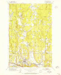
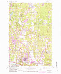
1953 Map of Bothell
USGS Topo · Published 1955About this map
The Sammamish River valley and the rising timberlands of the Washington interior define this mid-century survey. The landscape is structured around a network of crossroads settlements and family-named junctions, such as Thrashers Corner, Wintermutes Corner, and Kennard Corner, which served as local hubs before the arrival of modern highway interchanges. In Bothell, the concentration of civic life is evident near the High School and the Northern Pacific railroad line, while the nearby Wellington Hills Golf Course and a Drive-in Theatre north of Woodinville mark the post-war shift toward suburban recreation.
Find a feature on this map
51 named features on this map. Tap any name to fly to it.
Don’t see what you’re looking for? This feature index may not catch every label — zoom into the map to look around manually.
Map Details
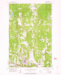
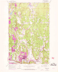
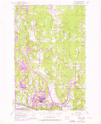
Editions of this 1953 Bothell Map
5 editions found
Other maps of this area

1894 · Seattle
USGS Topo · 1:62,500

1895 · Snohomish
USGS Topo · 1:125,000

1897 · Seattle
USGS Topo · 1:125,000

1908 · Seattle
USGS Topo · 1:62,500

1909 · Seattle Special
USGS Topo · 1:62,500

1942 · Edmonds
USGS Topo · 1:62,500

1944 · Everett
USGS Topo · 1:62,500

1949 · Seattle North
USGS Topo · 1:24,000

1950 · Redmond
USGS Topo · 1:24,000

1950 · Kirkland
USGS Topo · 1:24,000