
1950 Map of Kirkland
USGS Topo · Published 1956About this map
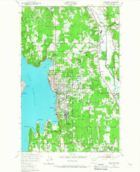
The eastern shores of Lake Washington are captured here just before the massive post-war suburban expansion reshaped the Eastside. The city of Kirkland serves as the primary hub, connected to the western shore by the Seattle-Kirkland Ferry, while the Northern Pacific railroad tracks wind through the lowland valleys. The landscape still retains significant open spaces and early recreational sites, including the Bridle Trail State Park and several local greenspaces like the Juanita Golf Course.
Find a feature on this map
41 named features on this map. Tap any name to fly to it.
Don’t see what you’re looking for? This feature index may not catch every label — zoom into the map to look around manually.
Map Details
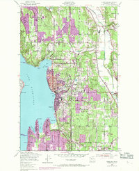
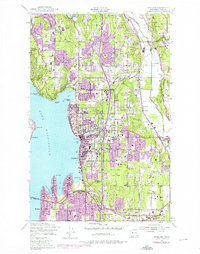
Editions of this 1950 Kirkland Map
4 editions found
Other maps of this area

1894 · Seattle
USGS Topo · 1:62,500

1895 · Snohomish
USGS Topo · 1:125,000

1897 · Seattle
USGS Topo · 1:125,000

1908 · Seattle
USGS Topo · 1:62,500

1909 · Seattle Special
USGS Topo · 1:62,500

1942 · Edmonds
USGS Topo · 1:62,500

1944 · Everett
USGS Topo · 1:62,500

1949 · Seattle North
USGS Topo · 1:24,000
1949 · Seattle South
USGS Topo · 1:24,000

1950 · Redmond
USGS Topo · 1:24,000