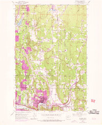
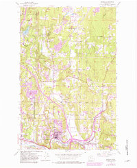
1953 Map of Bothell
USGS Topo · Published 1969About this map
The Sammamish River winds through the southern edge of this landscape, connecting the growing hubs of Bothell and Kenmore. In the early 1950s, this area of the Puget Sound region was characterized by small agricultural and residential nodes emerging at key crossroads, including Wintermutes Corner, Kennard Corner, and Thrashers Corner. The purple photorevisions from 1968 illustrate the rapid expansion of urban areas, particularly around Canyon Park and along the Northern Pacific railroad corridor.
Find a feature on this map
37 named features on this map. Tap any name to fly to it.
Don’t see what you’re looking for? This feature index may not catch every label — zoom into the map to look around manually.
Map Details
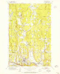
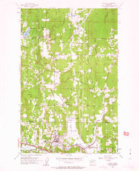
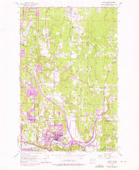
Editions of this 1953 Bothell Map
5 editions found
Other maps of this area

1894 · Seattle
USGS Topo · 1:62,500

1895 · Snohomish
USGS Topo · 1:125,000

1897 · Seattle
USGS Topo · 1:125,000

1908 · Seattle
USGS Topo · 1:62,500

1909 · Seattle Special
USGS Topo · 1:62,500

1942 · Edmonds
USGS Topo · 1:62,500

1944 · Everett
USGS Topo · 1:62,500

1949 · Seattle North
USGS Topo · 1:24,000

1950 · Redmond
USGS Topo · 1:24,000

1950 · Kirkland
USGS Topo · 1:24,000