Loading...
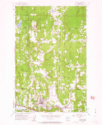
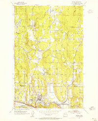
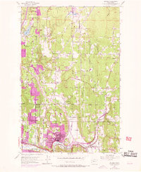
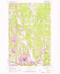
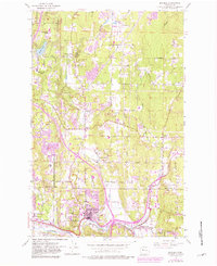
Loading map...1953 Map of Bothell
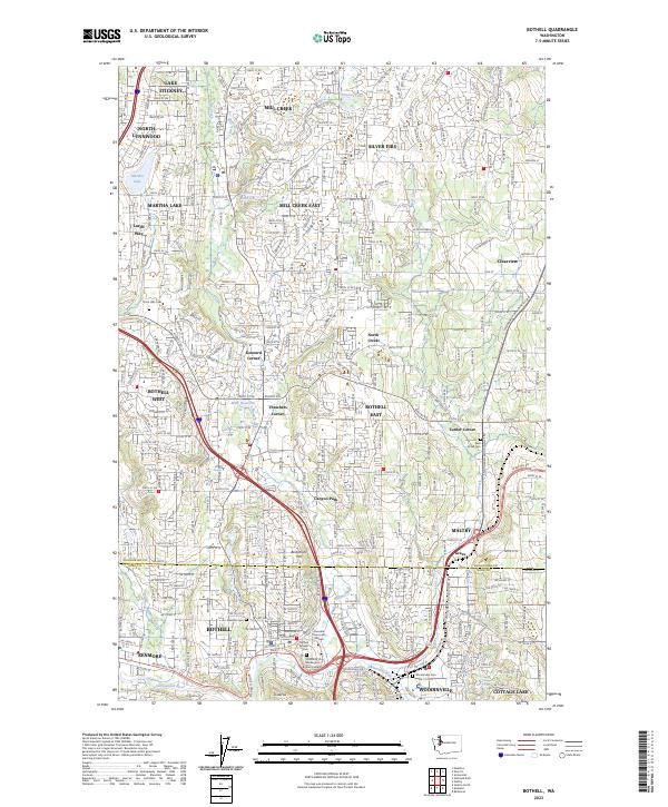
USGS Topo · Published 1963About this map
Bothell and the surrounding river valley show a landscape in transition during the early 1950s, where traditional agriculture and rural corners meet emerging suburban infrastructure. The Sammamish River anchors the southern portion of the map, flowing between the growing centers of Kenmore and Woodinville. Local navigation in this era relied heavily on established crossroads, many named for local families, such as Wintermutes Corner, Thrashers Corner, and Kennard Corner.
Find a feature on this map
36 named features on this map. Tap any name to fly to it.
Don’t see what you’re looking for? This feature index may not catch every label — zoom into the map to look around manually.
Map Details
Date Portrayed1953
Date Published1963
PublisherU.S. Geological Survey
Map TypeTopographic
Scale1:24,000
Physical Dimensions22 x 27 inches
Editions of this 1953 Bothell Map
5 editions found
Historical Maps of Bothell Through Time
Featured Locations
Source Details
SourceU.S. Geological Survey
CopyrightPublic Domain