Loading...
Loading map...2023 Map of Naches
USGS Topo · Published 2023About this map
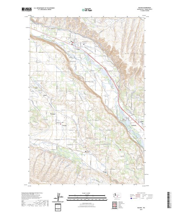
The Upper Naches Valley is defined by an intricate network of irrigation infrastructure and rural settlements in central Washington. The Naches River serves as the primary artery for the region, feeding the Selah Valley Canal, Wapatox Canal, and numerous smaller waterways like the Lowry Ditch and Kelly Ditch. This elaborate system of ditches and laterals, such as Lateral B and Lateral C, reflects the essential water management required for agriculture between the foothills.
Find a feature on this map
82 named features on this map. Tap any name to fly to it.
Don’t see what you’re looking for? This feature index may not catch every label — zoom into the map to look around manually.
Map Details
Date Portrayed2023
Date Published2023
PublisherU.S. Geological Survey
Map TypeTopographic
Scale1:24000
Physical Dimensions24 x 29 inches
Editions of this 2023 Naches Map
This is the sole edition of this map. No revisions or reprints were ever made.
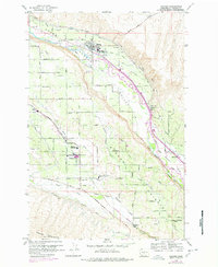
Historical Maps of Tasker Through Time
Featured Locations
Source Details
SourceU.S. Geological Survey
CopyrightPublic Domain