Loading...
Loading map...2021 Map of Naco
USGS Topo · Published 2021About this map
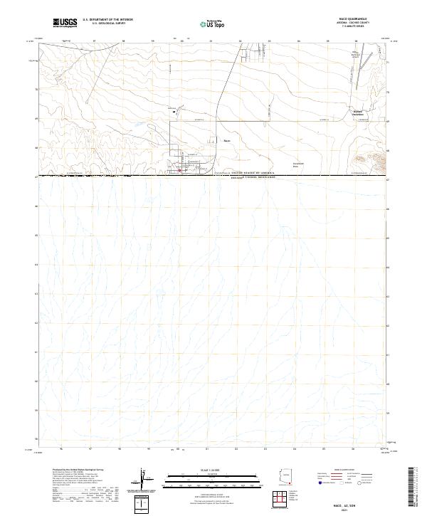
The international border between United States of America and Estados Unidos Mexicanos defines the southern extent of this desert landscape in Cochise County. The community of Naco sits directly on the line, its grid of streets including W Martinez St and W Valenzuela St terminating at W International Rd. This survey captures the layout of the border town and its northern periphery, where the Naco Cem stands west of Miller Ranch Rd.
Find a feature on this map
25 named features on this map. Tap any name to fly to it.
Don’t see what you’re looking for? This feature index may not catch every label — zoom into the map to look around manually.
Map Details
Date Portrayed2021
Date Published2021
PublisherU.S. Geological Survey
Map TypeTopographic
Scale1:24000
Physical Dimensions24 x 29 inches
Editions of this 2021 Naco Map
This is the sole edition of this map. No revisions or reprints were ever made.
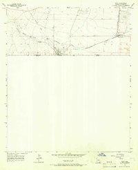
Historical Maps of Naco Through Time
Featured Locations
Source Details
SourceU.S. Geological Survey
CopyrightPublic Domain