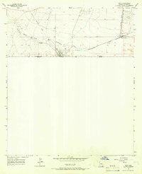
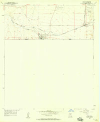
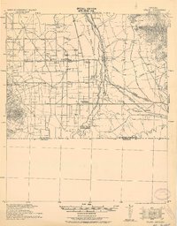
1958 Map of Naco
USGS Topo · Published 1965About this map
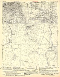
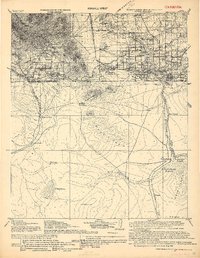
The United States Mexico border defines this 1958 survey, where the international line separates Naco from Arizona Sonora. The settlement functions as a critical port of entry, anchored by the Customs and Immigration Bldg near the center of the grid. To the northeast, Bisbee Junction serves as a key rail node where the Southern Pacific tracks converge, facilitating the movement of goods and people across the high desert floor.
Find a feature on this map
14 named features on this map. Tap any name to fly to it.
Don’t see what you’re looking for? This feature index may not catch every label — zoom into the map to look around manually.
Map Details
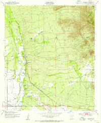
Editions of this 1958 Naco Map
2 editions found
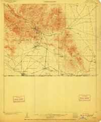
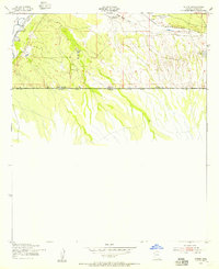
Other maps of this area
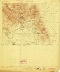
1902 · Bisbee
USGS Topo · 1:62,500
1910 · Bisbee
USGS Topo · 1:62,500
1914 · Hereford
USGS Topo · 1:125,000
1916 · Douglas
USGS Topo · 1:125,000
1919 · Douglas
USGS Topo · 1:125,000
1927 · Bisbee
USGS Topo · 1:62,500
1932 · Stark
USGS Topo · 1:62,500

1933 · Bisbee
USGS Topo · 1:62,500
1952 · Hereford
USGS Topo · 1:24,000
1952 · Stark
USGS Topo · 1:24,000