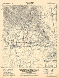
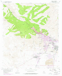
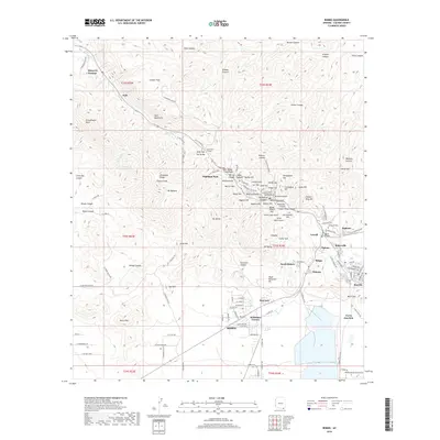
1927 Map of Bisbee
USGS Topo · Published 1927About this map
Industrial expansion across the Mule Mountains characterizes this 1920s tactical survey, where the copper mining complex surrounding Bisbee reaches deep into the surrounding canyons. A dense network of mining infrastructure is visible, including the Junction Mine, Denn Mine, and the Phelps Dodge Corp Concentrator. These operations are supported by worker settlements such as Lowell, Warren, and the descriptive Tin Town.
Find a feature on this map
71 named features on this map. Tap any name to fly to it.
Don’t see what you’re looking for? This feature index may not catch every label — zoom into the map to look around manually.
Map Details
Editions of this 1927 Bisbee Map
This is the sole edition of this map. No revisions or reprints were ever made.
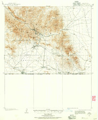
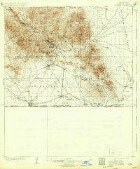
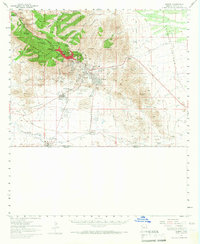
Historical Maps of Lowell Through Time
11 maps found
1902 Bisbee
Cochise County, AZ
1910 Bisbee
Cochise County, AZ
1927 Bisbee
Cochise County, AZ

1933 Bisbee
Cochise County, AZ
1958 Bisbee
Cochise County, AZ
1958 Bisbee
Cochise County, AZ
1996 Bisbee
Cochise County, AZ
2011 Bisbee
Cochise County, AZ
2014 Bisbee
Cochise County, AZ
2018 Bisbee
Cochise County, AZ
2021 Bisbee
Cochise County, AZ