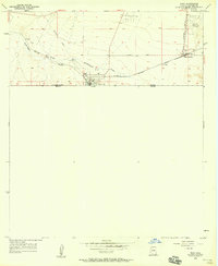
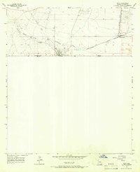
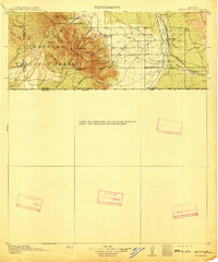
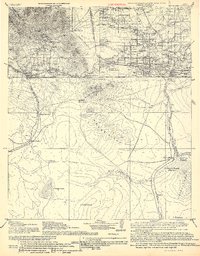
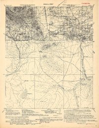
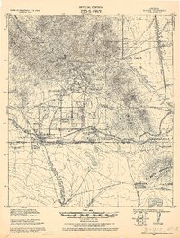
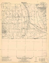
1958 Map of Naco
USGS Topo · Published 1958About this map
The United States Mexico international border defines the southern edge of this Arizona landscape, where the settlement of Naco serves as a primary gateway between Arizona and Sonora. In the late 1950s, this desert region was a critical junction for transportation and commerce, anchored by the Southern Pacific railroad and the Customs and Immigration Bldg. The map reveals a transition from rail-oriented infrastructure to modern aviation, with the Bisbee Municipal Airport situated in the northeast. Further evidence of earlier industrial patterns is visible in the Old Railroad Grade and various Oil Tanks clustered near the rail lines. Local land use is indicated by the presence of Purdys Lane and several water features such as Greenbush Draw and scattered Well sites, essential for life and industry in this arid borderland.
Find a feature on this map
16 named features on this map. Tap any name to fly to it.
Don’t see what you’re looking for? This feature index may not catch every label — zoom into the map to look around manually.
Map Details
Editions of this 1958 Naco Map
2 editions found
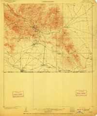
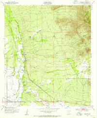
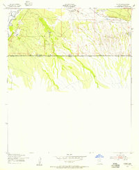
Other maps of this area
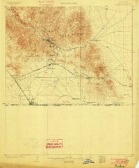
1902 · Bisbee
USGS Topo · 1:62,500
1910 · Bisbee
USGS Topo · 1:62,500
1914 · Hereford
USGS Topo · 1:125,000
1916 · Douglas
USGS Topo · 1:125,000
1919 · Douglas
USGS Topo · 1:125,000
1927 · Bisbee
USGS Topo · 1:62,500
1932 · Stark
USGS Topo · 1:62,500

1933 · Bisbee
USGS Topo · 1:62,500
1952 · Hereford
USGS Topo · 1:24,000
1952 · Stark
USGS Topo · 1:24,000