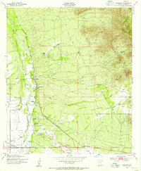
1952 Map of Hereford
USGS Topo · Published 1955About this map
The San Pedro River valley in the early 1950s was a landscape defined by an extensive network of family-owned ranching operations and the infrastructure of the Southern Pacific Railroad. From the settlement of Hereford down to Palominas, the map documents a series of established holdings including the Double Mill Ranch, Dinwiddie Ranch, and the Wick Ranch. These cattle-and-dairy interests were positioned along the fertile Valle Del San Rafael, where water was managed through various pumping stations and the natural flows of Spring Creek and Green Brush Draw. To the east, the foothills of the Mule Mountains rise above the valley floor, still bearing the trace of an Old Railroad Grade that speaks to the region's earlier industrial transit routes.
Find a feature on this map
24 named features on this map. Tap any name to fly to it.
Don’t see what you’re looking for? This feature index may not catch every label — zoom into the map to look around manually.
Map Details
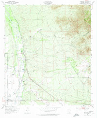
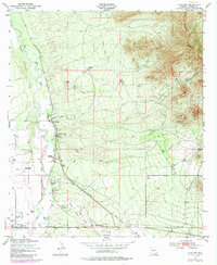
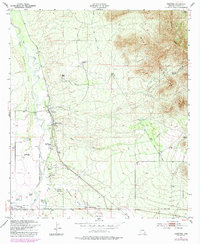
Editions of this 1952 Hereford Map
4 editions found
Other maps of this area

1902 · Bisbee
USGS Topo · 1:62,500

1910 · Bisbee
USGS Topo · 1:62,500

1914 · Hereford
USGS Topo · 1:125,000

1915 · Benson
USGS Topo · 1:125,000

1916 · Pearce
USGS Topo · 1:125,000

1916 · Douglas
USGS Topo · 1:125,000

1919 · Douglas
USGS Topo · 1:125,000

1925 · Gleeson
USGS Topo · 1:62,500

1927 · Bisbee
USGS Topo · 1:62,500

1932 · Stark
USGS Topo · 1:62,500