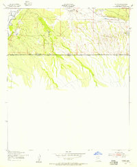
1952 Map of Stark
USGS Topo · Published 1955About this map
The San Pedro River corridor near the international border defines this 1952 topographic study, showing a landscape shaped by both water management and rail transportation. At the small settlement of Stark, the Southern Pacific railroad parallels the river valley, providing a critical transportation link through Cochise County. The presence of Diversion Dams along the river highlights early attempts to manage water for local agriculture and livestock, supporting isolated outposts like S-O Ranch and Valley View Ranch. Most notably, this map illustrates the precise line of the United States-Mexico border and the boundary between Arizona and Sonora, where the terrain transitions from the river bottom into the surrounding desert washes like Green Brush Draw.
Find a feature on this map
12 named features on this map. Tap any name to fly to it.
Don’t see what you’re looking for? This feature index may not catch every label — zoom into the map to look around manually.
Map Details
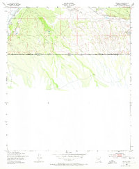
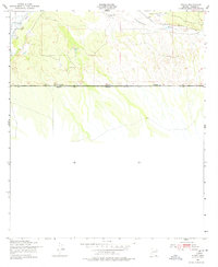
Editions of this 1952 Stark Map
3 editions found
Other maps of this area

1902 · Bisbee
USGS Topo · 1:62,500

1910 · Bisbee
USGS Topo · 1:62,500

1914 · Hereford
USGS Topo · 1:125,000

1916 · Douglas
USGS Topo · 1:125,000

1919 · Douglas
USGS Topo · 1:125,000

1927 · Bisbee
USGS Topo · 1:62,500

1932 · Stark
USGS Topo · 1:62,500
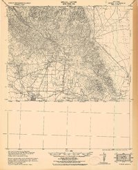
1933 · Bisbee
USGS Topo · 1:62,500
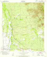
1952 · Hereford
USGS Topo · 1:24,000
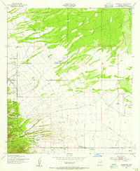
1952 · Nicksville
USGS Topo · 1:24,000