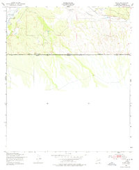
1952 Map of Stark
USGS Topo · Published 1978About this map
The San Pedro River flows through the northwest corner of this southern Arizona landscape, marking a vital water source in an otherwise arid expanse. Cattle ranching dominates the local geography during the early 1950s, evidenced by the presence of the S-O Ranch and the Valley View Ranch. The settlement of Stark serves as a quiet junction where the Southern Pacific railroad tracks parallel the Greenbush Draw. This survey captures the borderland character of Cochise County, specifically detailing the international boundary where the United States meets Sonora, Mexico. The terrain is defined by dry washes and intermittent drainage patterns that characterize the high desert environment just south of the railroad line.
Find a feature on this map
10 named features on this map. Tap any name to fly to it.
Don’t see what you’re looking for? This feature index may not catch every label — zoom into the map to look around manually.
Map Details
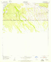
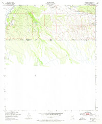
Editions of this 1952 Stark Map
3 editions found
Other maps of this area

1902 · Bisbee
USGS Topo · 1:62,500

1910 · Bisbee
USGS Topo · 1:62,500

1914 · Hereford
USGS Topo · 1:125,000

1916 · Douglas
USGS Topo · 1:125,000

1919 · Douglas
USGS Topo · 1:125,000

1927 · Bisbee
USGS Topo · 1:62,500

1932 · Stark
USGS Topo · 1:62,500
1933 · Bisbee
USGS Topo · 1:62,500
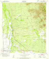
1952 · Hereford
USGS Topo · 1:24,000
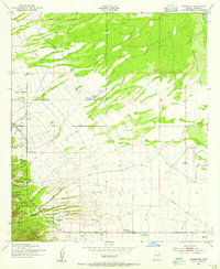
1952 · Nicksville
USGS Topo · 1:24,000